UN/LOCODE hub · United States
USHQ6
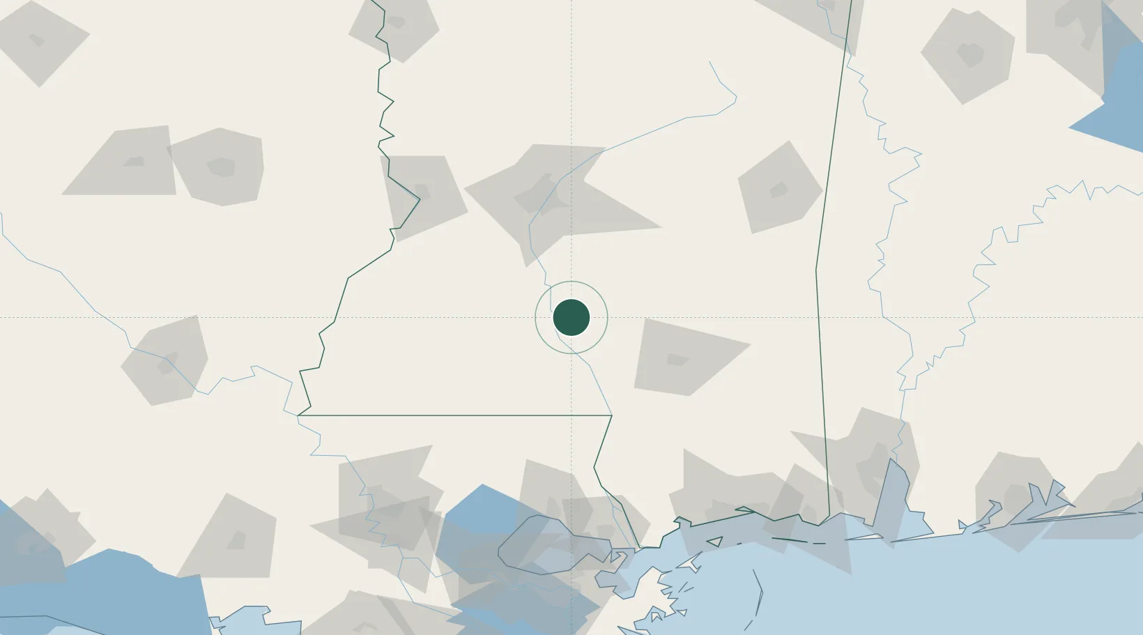
Silver Creek
31.6000°, -89.9833°
204
Population
1
Transport functions
Transport Functions
Multimodal
Hub Profile
Place type
Populated place
Region
Mississippi
Population
204
Time zone
America/Chicago
Elevation
83 m
Location
Nearby Logistics Neighbours
Ports
- 1Madisonville134 km
- 2Slidell150 km
- 3Gulfport163 km
- 4Biloxi171 km
- 5Baton Rouge172 km
Airports
Trade Zones
- 1FTZ No. 158 Vicksburg Jackson110 km
- 2FTZ No. 092 Harrison County163 km
- 3FTZ No. 154 Baton Rouge177 km
- 4FTZ No. 155 Calhoun Victoria Counties177 km
- 5FTZ No. 124 Gramercy185 km
DatabookThe Record of Consolidated Knowledge
United States beyond logistics?