Transport Functions
Road
Multimodal
Hub Profile
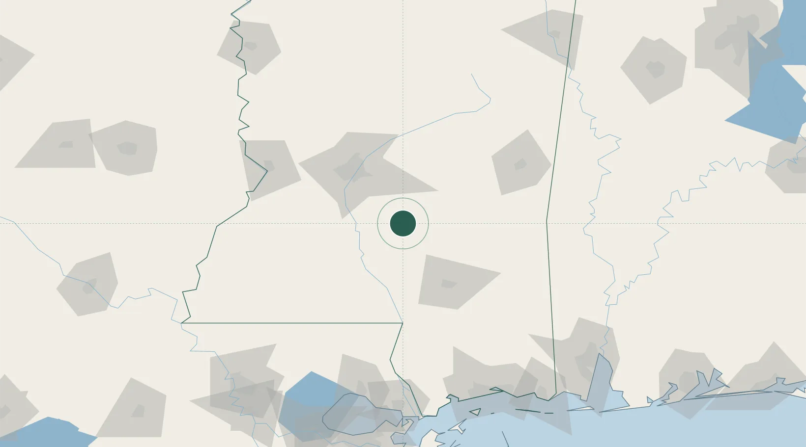
Place type
Populated place
Region
Mississippi
Population
4,368
Time zone
America/Chicago
Elevation
132 m
Location
Nearby Logistics Neighbours
Cities
- 1Puckett23 km
- 2Braxton28 km
- 3Carson37 km
- 4Silver Creek38 km
- 5Seminary40 km
Ports
- 1Madisonville168 km
- 2Slidell178 km
- 3Gulfport180 km
- 4Biloxi184 km
- 5Pascagoula202 km
Airports
Trade Zones
- 1FTZ No. 158 Vicksburg Jackson111 km
- 2FTZ No. 092 Harrison County177 km
- 3FTZ No. 082 Mobile204 km
- 4FTZ No. 154 Baton Rouge214 km
- 5FTZ No. 155 Calhoun Victoria Counties214 km
DatabookThe Record of Consolidated Knowledge
United States beyond logistics?