Transport Functions
Port
Road
Hub Profile
Place type
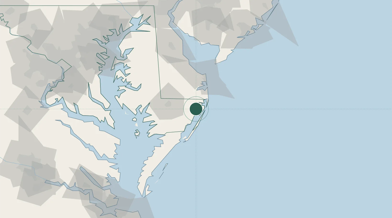
Populated place
Region
Maryland
Population
5,065
Time zone
America/New_York
Elevation
11 m
Location
Nearby Logistics Neighbours
Cities
- 1Selbyville17 km
- 2Dagsboro24 km
- 3Bethany Beach28 km
- 4Rogers Haven30 km
- 5Fruitland35 km
Ports
- 1Ocean City12 km
- 2Salisbury34 km
- 3Solomons Island108 km
- 4Piney Point117 km
- 5Annapolis133 km
Airports
Trade Zones
- 1FTZ No. 142 Salem Millville120 km
- 2FTZ No. 073 BWI Airport158 km
- 3FTZ No. 074 Baltimore160 km
- 4FTZ No. 099 Wilmington161 km
- 5FTZ No. 063 PrInce Georges County178 km
DatabookThe Record of Consolidated Knowledge
United States beyond logistics?