Channel & Berth Profile
Pilotage, Tugs & Services
Potable waterYES
Diesel bunkersYES
MedicalYES
Facilities & Capabilities
Container—
Ro-Ro—
Liquid bulk—
Dry bulk—
Oil terminal—
Break bulk—
Dry dock—
RepairsNO
Bunkering—
Rail linkYES
Dangerous cargo—
ISPS security—
Harbour Specifications
Harbour size
Very Small
Harbour type
Coastal (Natural)
Shelter
Excellent
Water body
North Atlantic Ocean
Tidal range
0.9 m
Overhead limit
Yes
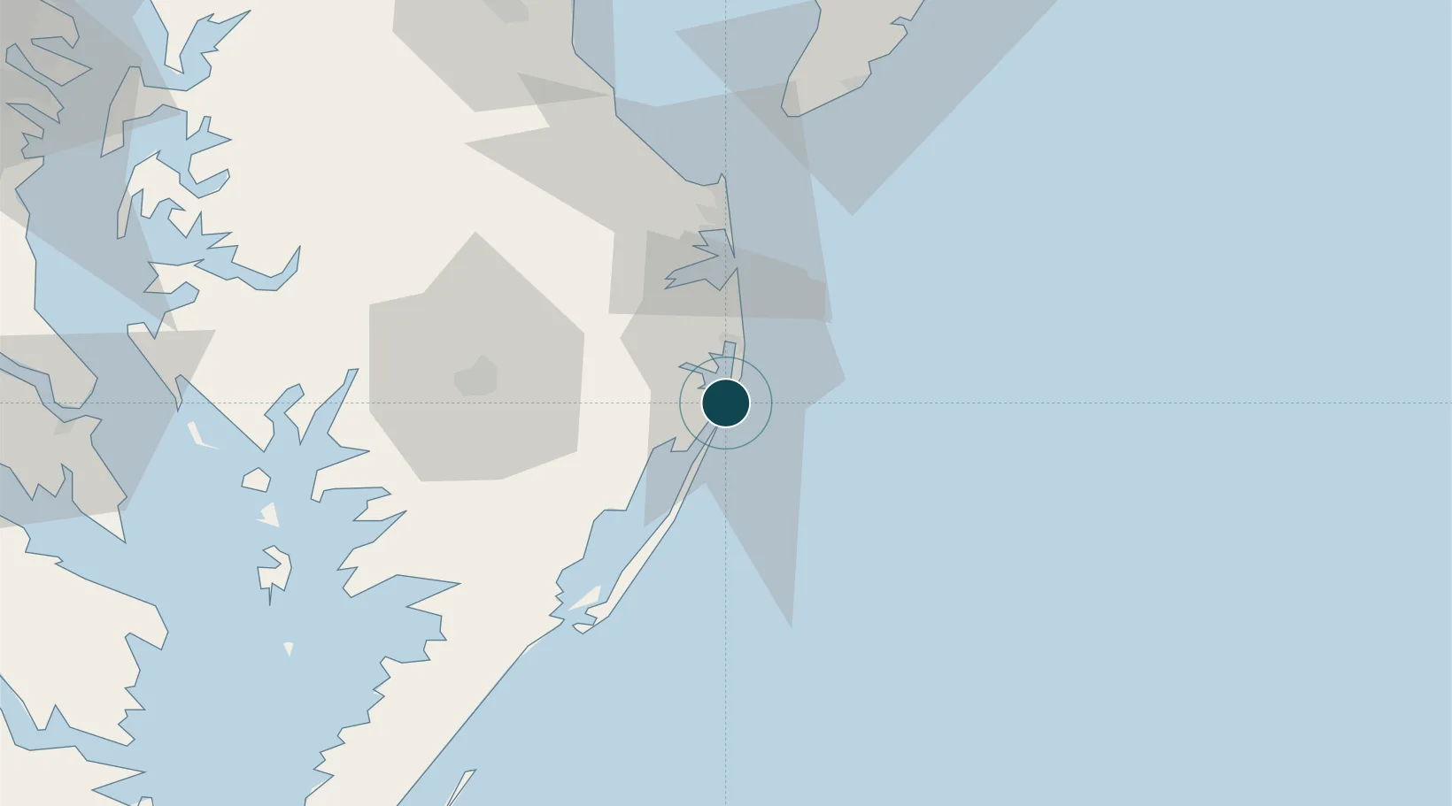
Location
Nearby Logistics Neighbours
Ports
- 1Salisbury45 km
- 2Solomons Island119 km
- 3Piney Point129 km
- 4Atlantic City129 km
- 5Annapolis141 km
Cities
- 1Berlin12 km
- 2Selbyville19 km
- 3Bethany Beach22 km
- 4Dagsboro26 km
- 5Rogers Haven26 km
Airports
Trade Zones
- 1FTZ No. 142 Salem Millville118 km
- 2FTZ No. 099 Wilmington162 km
- 3FTZ No. 073 BWI Airport166 km
- 4FTZ No. 074 Baltimore168 km
- 5FTZ No. 035 Philadelphia186 km
DatabookThe Record of Consolidated Knowledge
United States beyond logistics?