Medium airport · United States
Dover Civil Air Terminal/Dover Air Force BaseKDOV
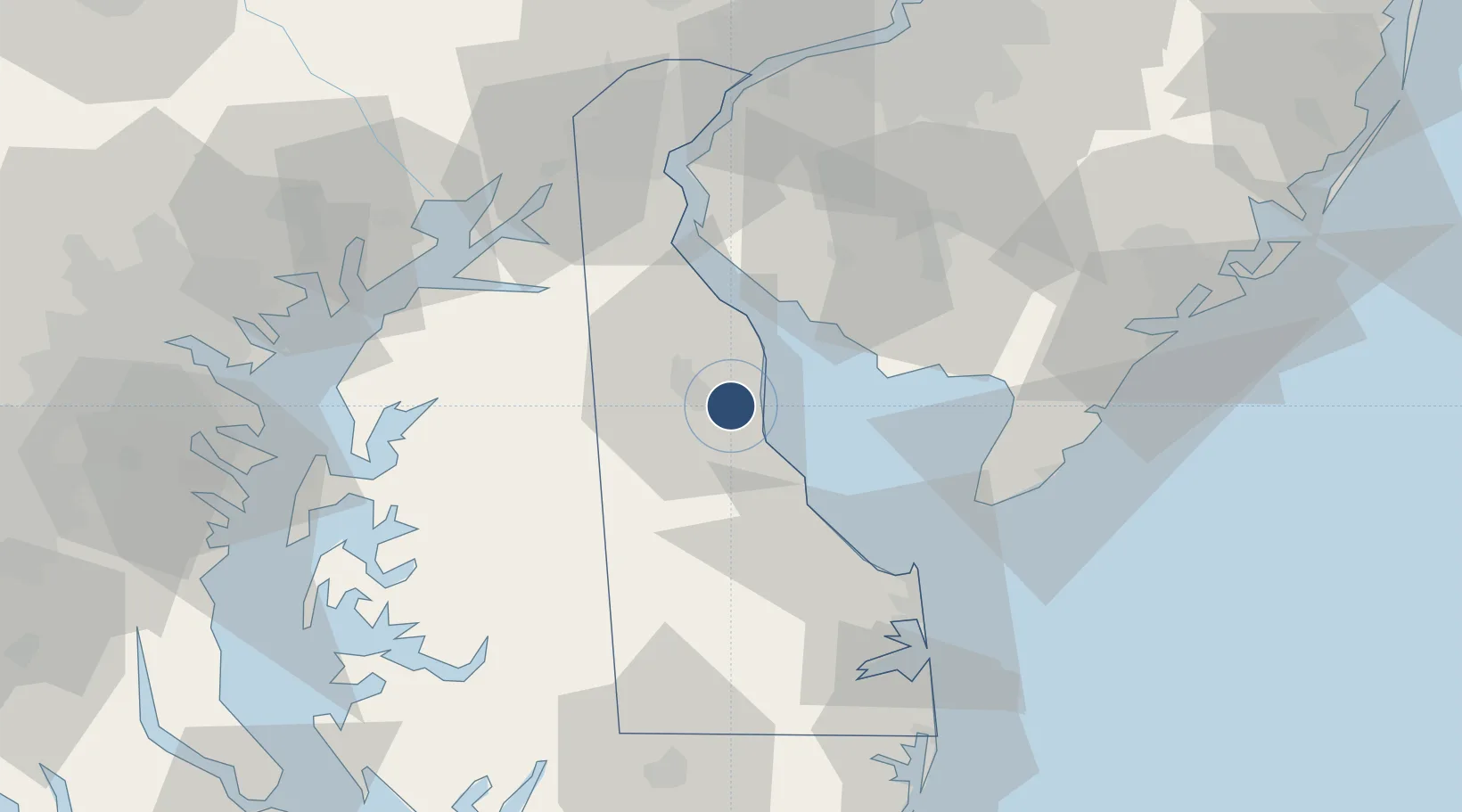
39.1295°, -75.4660°
12,903 ft
Longest runway
2
Runways
24 ft
Elevation
Runway & Layout

Radio Frequencies
ATIS
135.05 MHz
TWR
126.35 MHz
GND
118.875 MHz
CLD
125.55 MHz
CLNC DEL
APP
132.425 MHz
DEP
32.3 MHz
PMSV
34.2 MHz
PMSV METRO
POST
134.1 MHz
COMD POST
PTD
134.1 MHz
RDO
111.4 MHz
MILLVILLE RDO
Navaids
DOV TACAN Dover 110.00 MHz
ENO VORTAC Smyrna 111.40 MHz
Runways · 2
| Runway | Dimensions | Surface | True heading | Lit |
|---|---|---|---|---|
| 14/32 | 12,903 × 150ft | Asphalt / concrete | 126° | ✓ |
| 01/19 | 9,602 × 150ft | Asphalt / concrete | 003° | ✓ |
Airport Specifications
IATA code
DOV
ICAO code
KDOV
Airport class
Medium airport
Scheduled service
Yes
Runway surface
Asphalt / concrete
Served city
Dover
Location
Nearby Logistics Neighbours
Airports
- 1Millville Municipal Airport43 km
- 2Cape May County Airport50 km
- 3Wilmington Airport62 km
- 4Phillips Army Air Field71 km
- 5Martin State Airport85 km
Ports
- 1New Castle59 km
- 2Salem Nj60 km
- 3Deepwater Point64 km
- 4Wilmington68 km
- 5Havre De Grace70 km
Trade Zones
- 1FTZ No. 142 Salem Millville42 km
- 2FTZ No. 099 Wilmington69 km
- 3FTZ No. 035 Philadelphia99 km
- 4FTZ No. 074 Baltimore99 km
- 5FTZ No. 073 BWI Airport104 km
DatabookThe Record of Consolidated Knowledge
United States beyond logistics?