Medium airport · United States

Salisbury Ocean City Wicomico Regional AirportKSBY
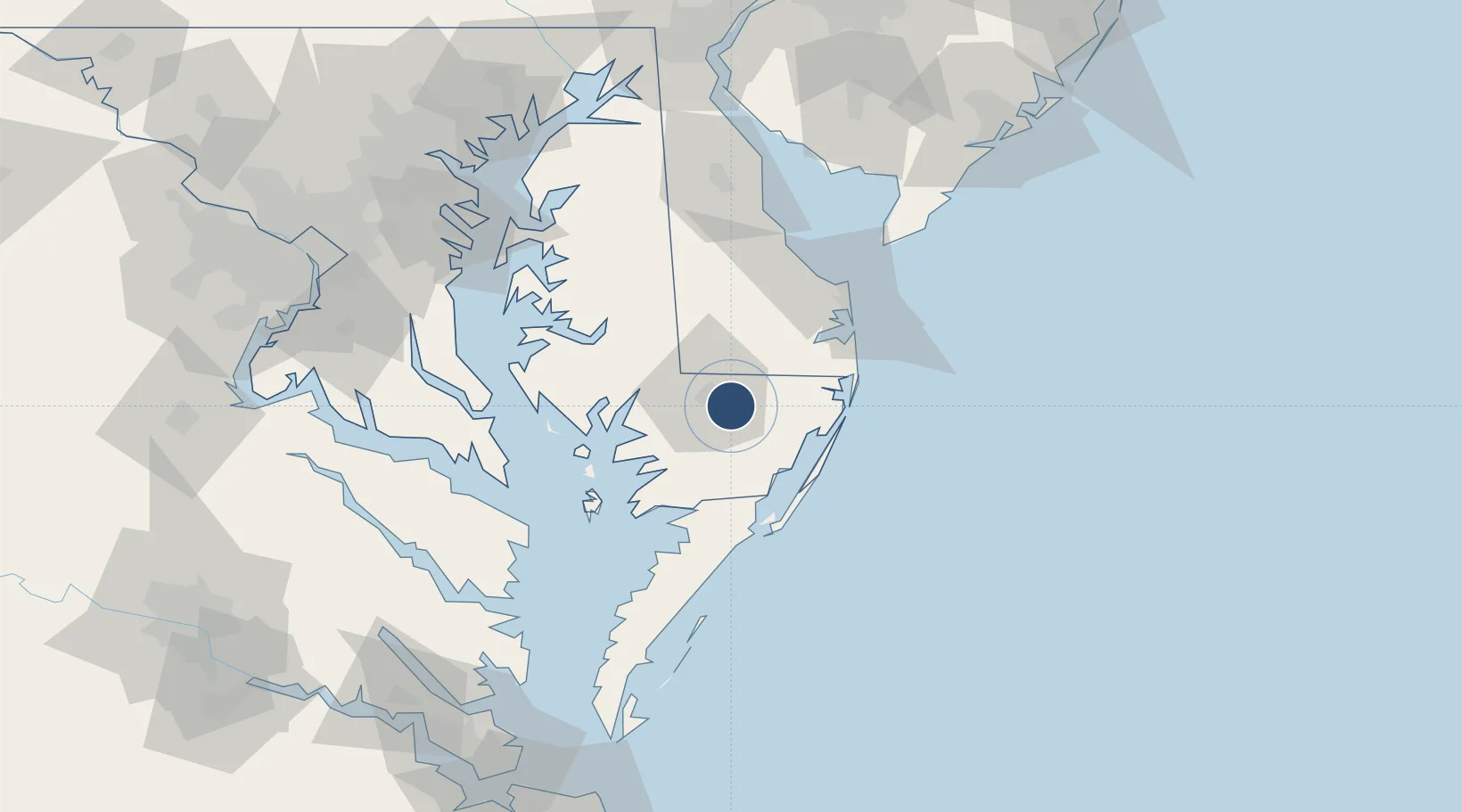
38.3405°, -75.5103°
6,400 ft
Longest runway
2
Runways
52 ft
Elevation

Runway & Layout

Salisbury Ocean City Wicomico Regional Airport runway & taxiway layout
Runway & taxiway layout — OpenStreetMap (ODbL) / OurAirports

Radio Frequencies

ASOS
118.325 MHz
TWR
119.425 MHz
GND
123.775 MHz
CLD
123.775 MHz
CLNC DEL
CTAF
119.425 MHz
A/D
127.95 MHz
PATUXENT APP/DEP
RDO
122.2 MHz
LEESBURG RDO
UNIC
122.95 MHz
UNICOM
OurAirports

Navaids

SB NDB Colbe 278 kHz
SBY VORTAC Salisbury 111.20 MHz
OurAirports

Runways · 2

RunwayDimensions SurfaceTrue headingLit
14/32 6,400 × 100ft Asphalt / concrete 127°
05/23 5,000 × 100ft Asphalt 037°
OurAirports

Airport Specifications

IATA code
SBY
OurAirports
ICAO code
KSBY
OurAirports
Airport class
Medium airport
OurAirports
Scheduled service
Yes
OurAirports
Runway surface
Asphalt / concrete
OurAirports
Served city
Salisbury
OurAirports

Location

Location of KSBY
Natural Earth 10m (public domain) · Maryland · KSBY · 38.34, -75.51GoogleOSMYandex

Nearby Logistics Neighbours

Airports
  1. 1Ocean City Municipal Airport34 km
  2. 2Patuxent River Naval Air Station (Trapnell Field)79 km
  3. 3Dover Civil Air Terminal/Dover Air Force Base88 km
  4. 4Cape May County Airport91 km
  5. 5Millville Municipal Airport120 km
Nearest neighbours — logibook spatial index (haversine) over the source coordinates
Cities
  1. 1Fruitland10 km
  2. 2Delmar14 km
  3. 3Delmar14 km
  4. 4Laurel24 km
  5. 5Berlin26 km
Nearest neighbours — logibook spatial index (haversine) over the source coordinates
Ports
  1. 1Salisbury8 km
  2. 2Ocean City37 km
  3. 3Solomons Island82 km
  4. 4Piney Point92 km
  5. 5Annapolis111 km
Nearest neighbours — logibook spatial index (haversine) over the source coordinates
Trade Zones
  1. 1FTZ No. 142 Salem Millville122 km
  2. 2FTZ No. 073 BWI Airport137 km
  3. 3FTZ No. 074 Baltimore140 km
  4. 4FTZ No. 063 PrInce Georges County154 km
  5. 5FTZ No. 099 Wilmington156 km
Nearest neighbours — logibook spatial index (haversine) over the source coordinates
DatabookThe Record of Consolidated Knowledge
United States beyond logistics?
Browse databook

All Sources

AirportsOurAirports
Public domain
Portsthe NGA World Port Index
Public domain (US gov)
LocationsUN/LOCODE
UN/LOCODE — free
Trade Zonesthe World Bank SEZ database
CC BY 4.0
Trade ZonesOpen Zone Map
CC BY
InfrastructureOpenStreetMap
ODbL 1.0
← United States airports