UN/LOCODE hub · United States
USBBA
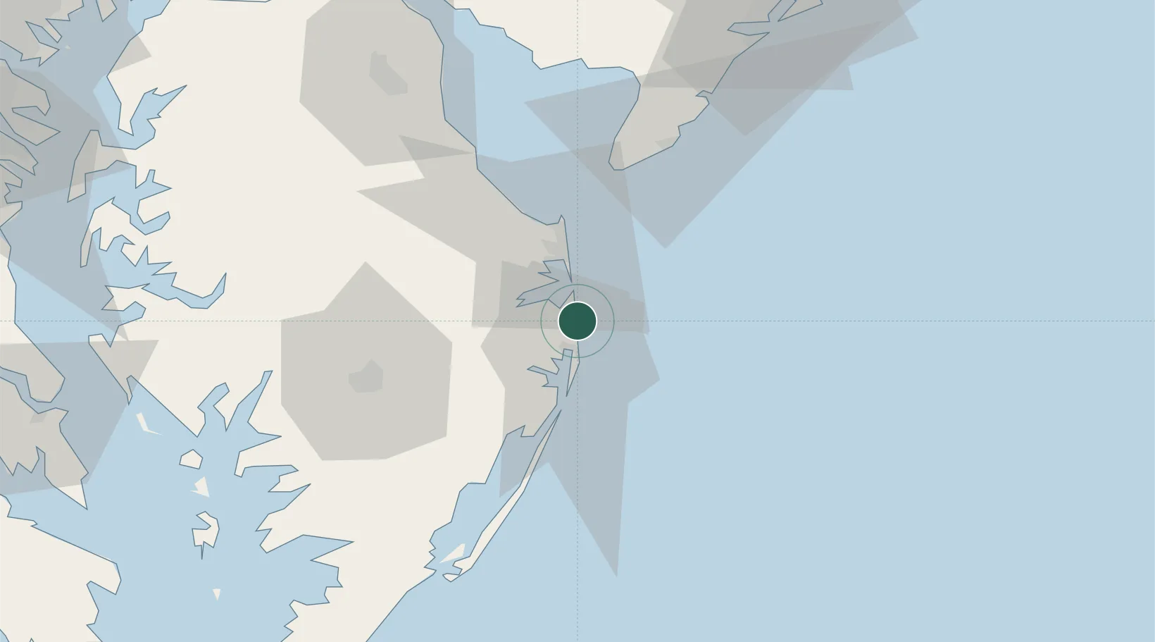
Bethany Beach
38.5333°, -75.0500°
1,170
Population
2
Transport functions
Transport Functions
Port
Road
Hub Profile
Place type
Populated place
Region
Delaware
Population
1,170
Time zone
America/New_York
Elevation
2 m
Location
Nearby Logistics Neighbours
Cities
- 1Rogers Haven6 km
- 2Dagsboro16 km
- 3Selbyville16 km
- 4Berlin28 km
- 5Ocean View42 km
Ports
- 1Ocean City22 km
- 2Salisbury51 km
- 3Atlantic City108 km
- 4Solomons Island124 km
- 5Salem Nj132 km
Airports
Trade Zones
- 1FTZ No. 142 Salem Millville95 km
- 2FTZ No. 099 Wilmington141 km
- 3FTZ No. 074 Baltimore157 km
- 4FTZ No. 073 BWI Airport157 km
- 5FTZ No. 035 Philadelphia164 km
DatabookThe Record of Consolidated Knowledge
United States beyond logistics?