UN/LOCODE hub · United States
USZFM
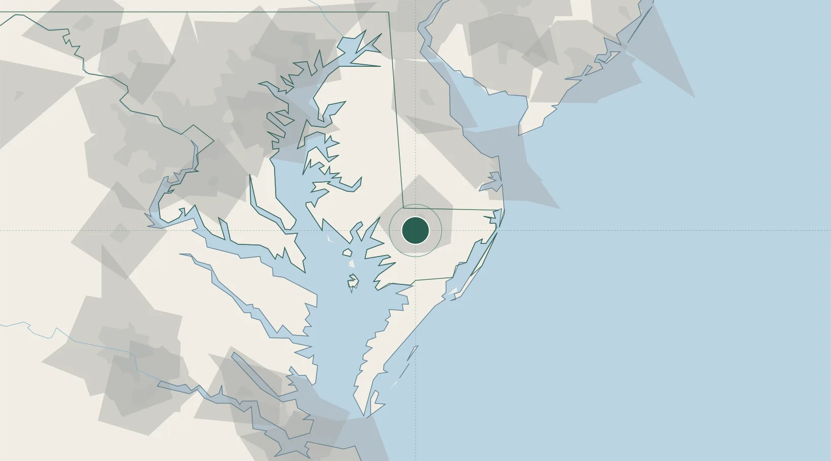
Fruitland
38.3167°, -75.6167°
5,215
Population
3
Transport functions
Transport Functions
Port
Rail
Road
Hub Profile
Place type
Populated place
Region
Maryland
Population
5,215
Time zone
America/New_York
Elevation
11 m
Location
Nearby Logistics Neighbours
Ports
- 1Salisbury6 km
- 2Ocean City47 km
- 3Solomons Island73 km
- 4Piney Point83 km
- 5Annapolis106 km
Airports
Trade Zones
- 1FTZ No. 142 Salem Millville127 km
- 2FTZ No. 073 BWI Airport132 km
- 3FTZ No. 074 Baltimore136 km
- 4FTZ No. 063 PrInce Georges County146 km
- 5FTZ No. 099 Wilmington159 km
DatabookThe Record of Consolidated Knowledge
United States beyond logistics?