Medium airport · United States
Ocean City Municipal AirportKOXB
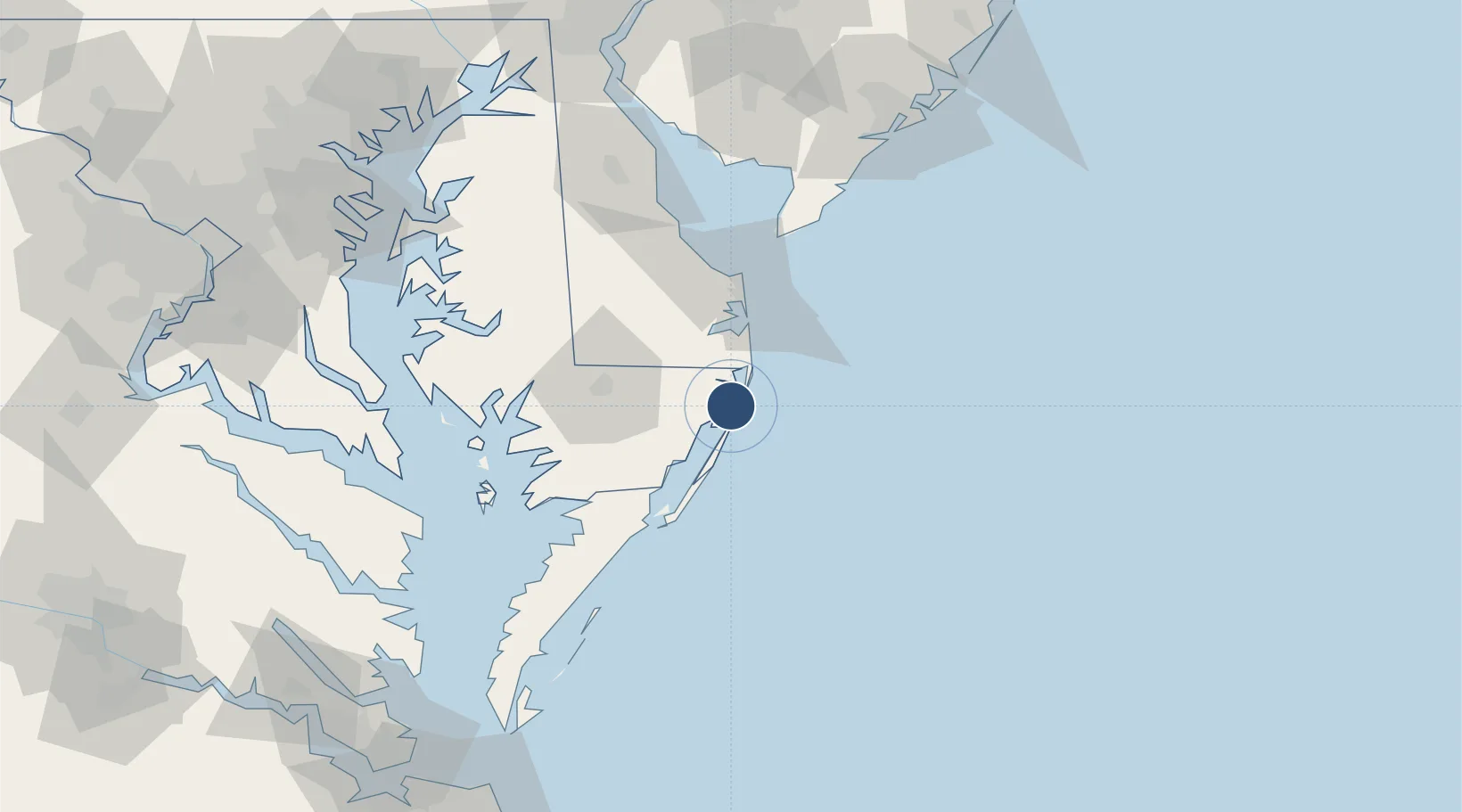
38.3104°, -75.1240°
4,074 ft
Longest runway
2
Runways
11 ft
Elevation
Runway & Layout

Radio Frequencies
ASOS
119.025 MHz
A/D
127.95 MHz
PATUXENT APP/DEP
UNIC
122.8 MHz
CTAF/UNICOM
Runways · 2
| Runway | Dimensions | Surface | True heading | Lit |
|---|---|---|---|---|
| 14/32 | 4,074 × 75ft | Asphalt / concrete | 133° | ✓ |
| 02/20 | 3,204 × 75ft | Asphalt / concrete | 010° | ✓ |
Airport Specifications
IATA code
OCE
ICAO code
KOXB
Airport class
Medium airport
Scheduled service
Yes
Runway surface
Asphalt / concrete
Served city
Ocean City
Location
Nearby Logistics Neighbours
Airports
Cities
- 1Berlin8 km
- 2Selbyville19 km
- 3Bethany Beach26 km
- 4Dagsboro27 km
- 5Rogers Haven29 km
Ports
- 1Ocean City4 km
- 2Salisbury42 km
- 3Solomons Island116 km
- 4Piney Point125 km
- 5Atlantic City133 km
Trade Zones
- 1FTZ No. 142 Salem Millville120 km
- 2FTZ No. 099 Wilmington164 km
- 3FTZ No. 073 BWI Airport165 km
- 4FTZ No. 074 Baltimore167 km
- 5FTZ No. 063 PrInce Georges County186 km
DatabookThe Record of Consolidated Knowledge
United States beyond logistics?