UN/LOCODE hub · United States
USYVD
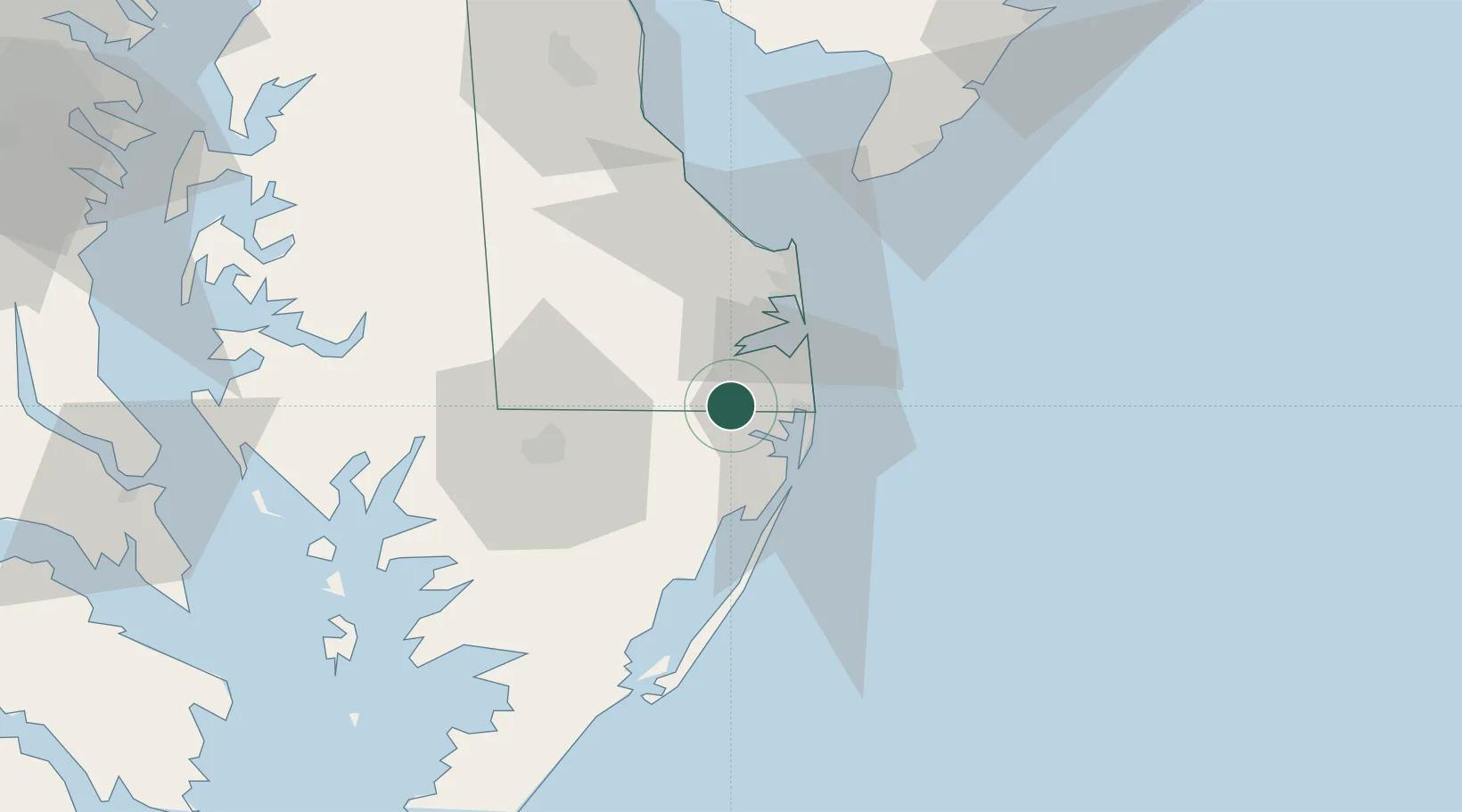
Selbyville
38.4667°, -75.2167°
2,397
Population
2
Transport functions
Transport Functions
Rail
Road
Hub Profile
Place type
Populated place
Region
Delaware
Population
2,397
Time zone
America/New_York
Elevation
11 m
Location
Nearby Logistics Neighbours
Cities
- 1Dagsboro8 km
- 2Rogers Haven15 km
- 3Bethany Beach16 km
- 4Berlin17 km
- 5Laurel32 km
Ports
- 1Ocean City19 km
- 2Salisbury35 km
- 3Solomons Island109 km
- 4Piney Point121 km
- 5Atlantic City122 km
Airports
Trade Zones
- 1FTZ No. 142 Salem Millville103 km
- 2FTZ No. 099 Wilmington145 km
- 3FTZ No. 073 BWI Airport149 km
- 4FTZ No. 074 Baltimore150 km
- 5FTZ No. 035 Philadelphia171 km
DatabookThe Record of Consolidated Knowledge
United States beyond logistics?