Medium airport · United States

Cape May County AirportKWWD
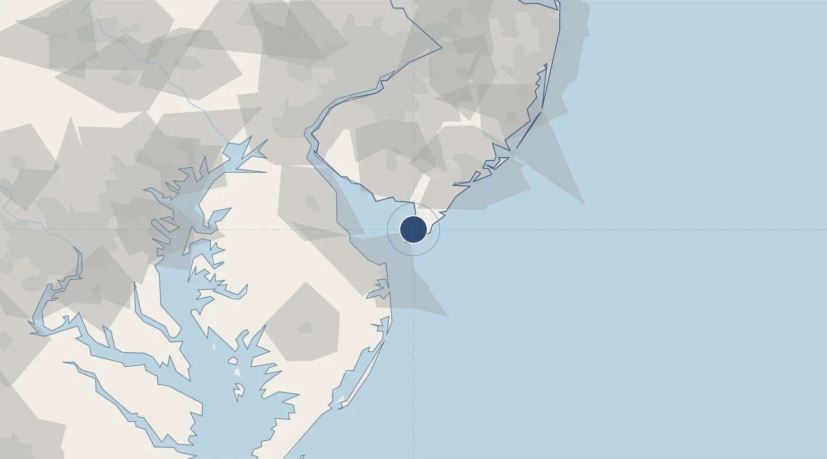
39.0085°, -74.9083°
5,252 ft
Longest runway
2
Runways
23 ft
Elevation

Runway & Layout

Cape May County Airport runway & taxiway layout
Runway & taxiway layout — OpenStreetMap (ODbL) / OurAirports

Radio Frequencies

AWOS
118.275 MHz
AWOS 3
CLD
121.7 MHz
CLNC DEL
A/D
124.6 MHz
APP/DEP
UNIC
122.7 MHz
CTAF/UNICOM
OurAirports

Navaids

SIE VORTAC Sea Isle 114.80 MHz
OurAirports

Runways · 2

RunwayDimensions SurfaceTrue headingLit
01/19 5,252 × 150ft Asphalt 360°
10/28 5,000 × 150ft Asphalt 090°
OurAirports

Airport Specifications

IATA code
WWD
OurAirports
ICAO code
KWWD
OurAirports
Airport class
Medium airport
OurAirports
Scheduled service
No
OurAirports
Runway surface
Asphalt
OurAirports
Served city
Wildwood
OurAirports

Location

Location of KWWD
Natural Earth 10m (public domain) · New Jersey · KWWD · 39.01, -74.91GoogleOSMYandex

Nearby Logistics Neighbours

Airports
  1. 1Millville Municipal Airport42 km
  2. 2Dover Civil Air Terminal/Dover Air Force Base50 km
  3. 3Atlantic City International Airport57 km
  4. 4Ocean City Municipal Airport80 km
  5. 5Salisbury Ocean City Wicomico Regional Airport91 km
Nearest neighbours — logibook spatial index (haversine) over the source coordinates
Cities
  1. 1Rio Grande2 km
  2. 2Cape May8 km
  3. 3North Wildwood8 km
  4. 4Cape May Court House12 km
  5. 5Dennisville23 km
Nearest neighbours — logibook spatial index (haversine) over the source coordinates
Ports
  1. 1Atlantic City58 km
  2. 2Ocean City77 km
  3. 3Salem Nj88 km
  4. 4New Castle91 km
  5. 5Deepwater Point93 km
Nearest neighbours — logibook spatial index (haversine) over the source coordinates
Trade Zones
  1. 1FTZ No. 142 Salem Millville46 km
  2. 2FTZ No. 099 Wilmington98 km
  3. 3FTZ No. 035 Philadelphia115 km
  4. 4FTZ No. 235 Lakewood131 km
  5. 5FTZ No. 200 Mercer County142 km
Nearest neighbours — logibook spatial index (haversine) over the source coordinates
DatabookThe Record of Consolidated Knowledge
United States beyond logistics?
Browse databook

All Sources

AirportsOurAirports
Public domain
Portsthe NGA World Port Index
Public domain (US gov)
LocationsUN/LOCODE
UN/LOCODE — free
Trade Zonesthe World Bank SEZ database
CC BY 4.0
Trade ZonesOpen Zone Map
CC BY
InfrastructureOpenStreetMap
ODbL 1.0
← United States airports