Transport Functions
Port
Road
Multimodal
Hub Profile
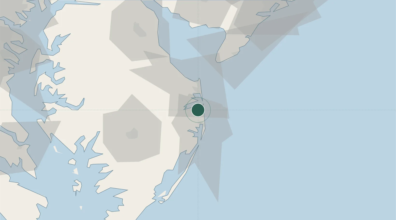
Place type
Populated place
Region
Delaware
Time zone
America/New_York
Elevation
1 m
Location
Nearby Logistics Neighbours
Cities
- 1Bethany Beach6 km
- 2Dagsboro12 km
- 3Selbyville15 km
- 4Berlin30 km
- 5Ocean View38 km
Ports
- 1Ocean City26 km
- 2Salisbury49 km
- 3Atlantic City107 km
- 4Solomons Island121 km
- 5Salem Nj127 km
Airports
Trade Zones
- 1FTZ No. 142 Salem Millville92 km
- 2FTZ No. 099 Wilmington136 km
- 3FTZ No. 074 Baltimore152 km
- 4FTZ No. 073 BWI Airport152 km
- 5FTZ No. 035 Philadelphia160 km
DatabookThe Record of Consolidated Knowledge
United States beyond logistics?