Transport Functions
Port
Road
Hub Profile
Place type
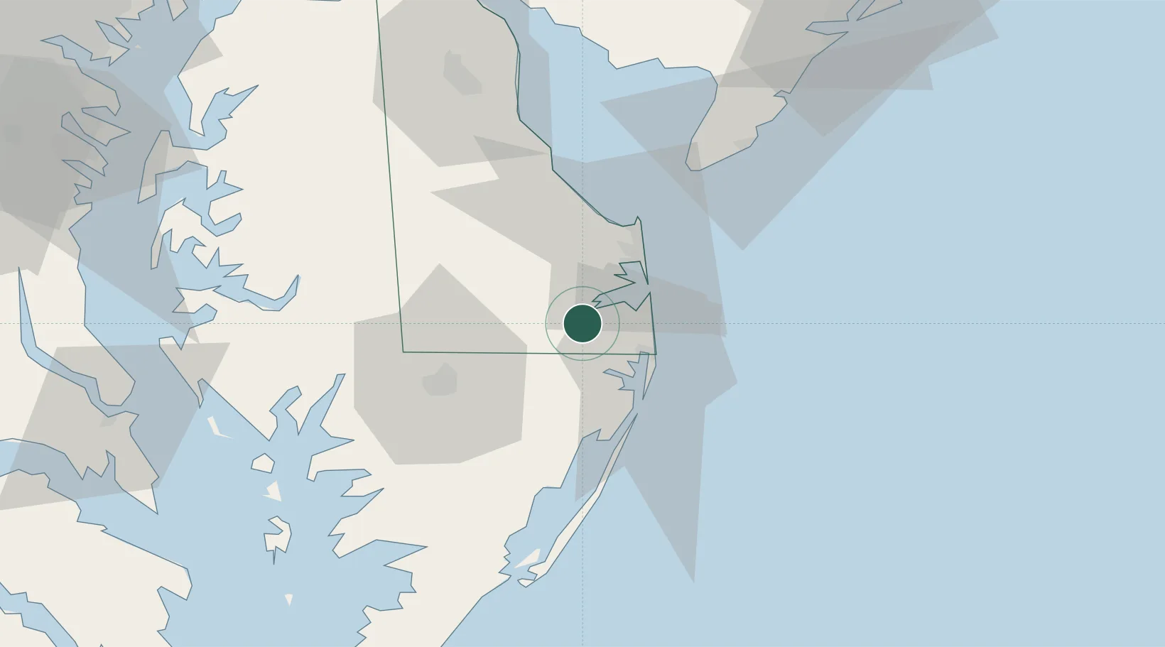
Populated place
Region
Delaware
Population
859
Time zone
America/New_York
Elevation
8 m
Location
Nearby Logistics Neighbours
Cities
- 1Selbyville8 km
- 2Rogers Haven12 km
- 3Bethany Beach16 km
- 4Berlin24 km
- 5Laurel29 km
Ports
- 1Ocean City26 km
- 2Salisbury37 km
- 3Solomons Island109 km
- 4Atlantic City117 km
- 5Annapolis119 km
Airports
Trade Zones
- 1FTZ No. 142 Salem Millville96 km
- 2FTZ No. 099 Wilmington137 km
- 3FTZ No. 073 BWI Airport143 km
- 4FTZ No. 074 Baltimore144 km
- 5FTZ No. 035 Philadelphia163 km
DatabookThe Record of Consolidated Knowledge
United States beyond logistics?