UN/LOCODE hub · United States
USWEU
West Union
34.7500°, -83.0333°
312
Population
2
Transport functions
Transport Functions
Rail
Road
Hub Profile
Place type
Populated place
Region
South Carolina
Population
312
Time zone
America/New_York
Elevation
303 m
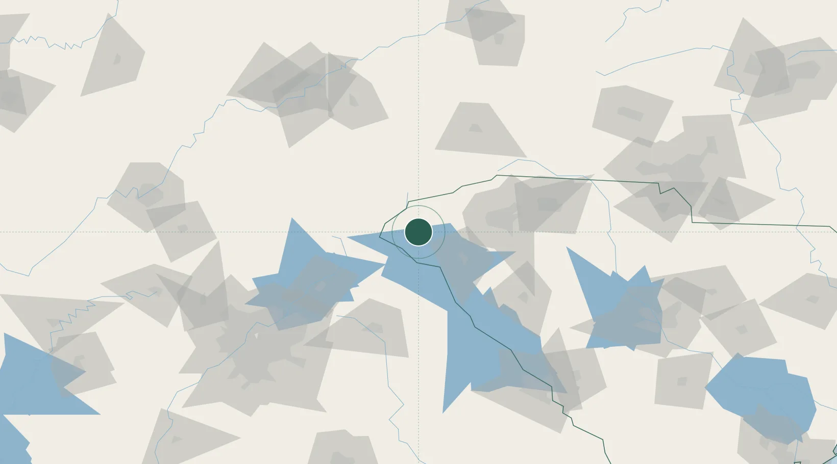
Location
Nearby Logistics Neighbours
Cities
- 1Galloway20 km
- 2Avalon32 km
- 3Sandy Springs32 km
- 4Eastanollee33 km
- 5Lavonia36 km
Ports
- 1Beaufort338 km
- 2Port Royal343 km
- 3Savannah347 km
- 4Charleston362 km
- 5Georgetown378 km
Airports
Trade Zones
- 1FTZ No. 038 Spartanburg County73 km
- 2FTZ No. 026 Atlanta166 km
- 3FTZ No. 148 Knoxville175 km
- 4FTZ No. 057 Mecklenburg County186 km
- 5FTZ No. 127 West Columbia194 km
DatabookThe Record of Consolidated Knowledge
United States beyond logistics?