UN/LOCODE hub · United States
USAOI

Lavonia

34.4333°, -83.1000°
2,165
Population
3
Transport functions

Transport Functions

Rail
Road
Multimodal
UN/LOCODE

Hub Profile

Place type
Populated place
GeoNames
Region
Georgia
GeoNames
Population
2,165
GeoNames
Time zone
America/New_York
GeoNames
Elevation
260 m
GeoNames

Location

Location of USAOI
Natural Earth 10m (public domain) · Georgia · USAOI · 34.43, -83.10GoogleOSMYandex

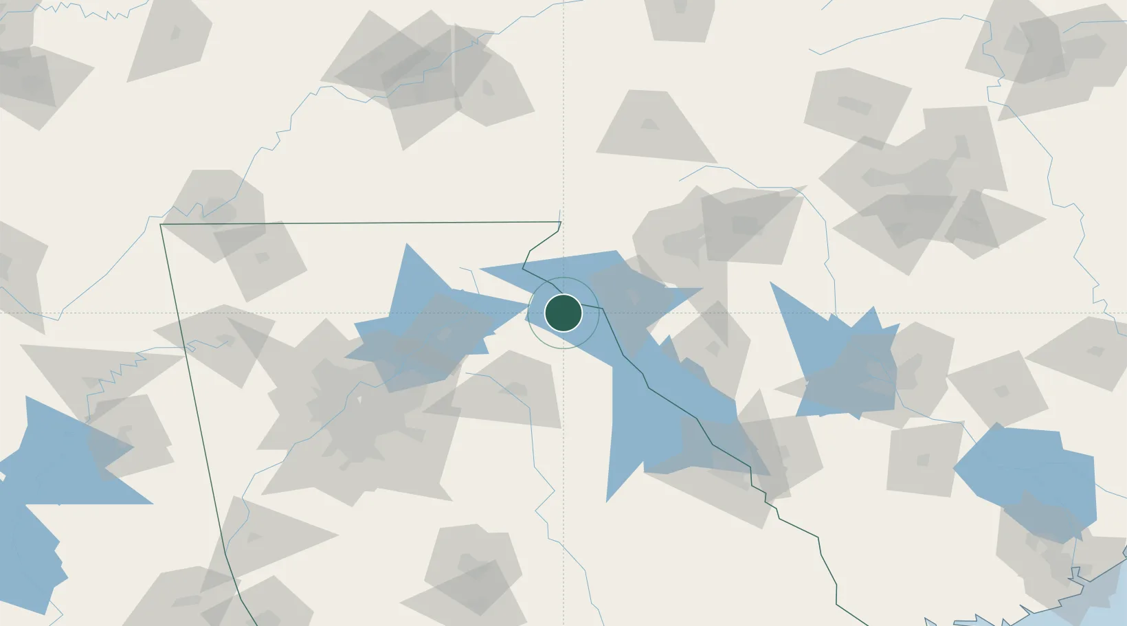
Nearby Logistics Neighbours

Cities
  1. 1Avalon12 km
  2. 2Eastanollee17 km
  3. 3Bowman27 km
  4. 4Dewy Rose33 km
  5. 5West Union36 km
Nearest neighbours — logibook spatial index (haversine) over the source coordinates
Ports
  1. 1Beaufort317 km
  2. 2Port Royal321 km
  3. 3Savannah322 km
  4. 4Charleston347 km
  5. 5Georgetown372 km
Nearest neighbours — logibook spatial index (haversine) over the source coordinates
Airports
  1. 1Anderson Regional Airport37 km
  2. 2Athens Ben Epps Airport58 km
  3. 3Greenville Downtown Airport83 km
  4. 4Greenville-Spartanburg International Airport96 km
  5. 5Western Carolina Regional Airport110 km
Nearest neighbours — logibook spatial index (haversine) over the source coordinates
Trade Zones
  1. 1FTZ No. 038 Spartanburg County93 km
  2. 2FTZ No. 026 Atlanta140 km
  3. 3FTZ No. 127 West Columbia188 km
  4. 4FTZ No. 148 Knoxville201 km
  5. 5FTZ No. 057 Mecklenburg County206 km
Nearest neighbours — logibook spatial index (haversine) over the source coordinates
DatabookThe Record of Consolidated Knowledge
United States beyond logistics?
Browse databook

All Sources

LocationsUN/LOCODE
UN/LOCODE — free
LocationsGeoNames
CC BY 4.0
Portsthe NGA World Port Index
Public domain (US gov)
AirportsOurAirports
Public domain
Trade Zonesthe World Bank SEZ database
CC BY 4.0
Trade ZonesOpen Zone Map
CC BY
← United States locations