Transport Functions
Rail
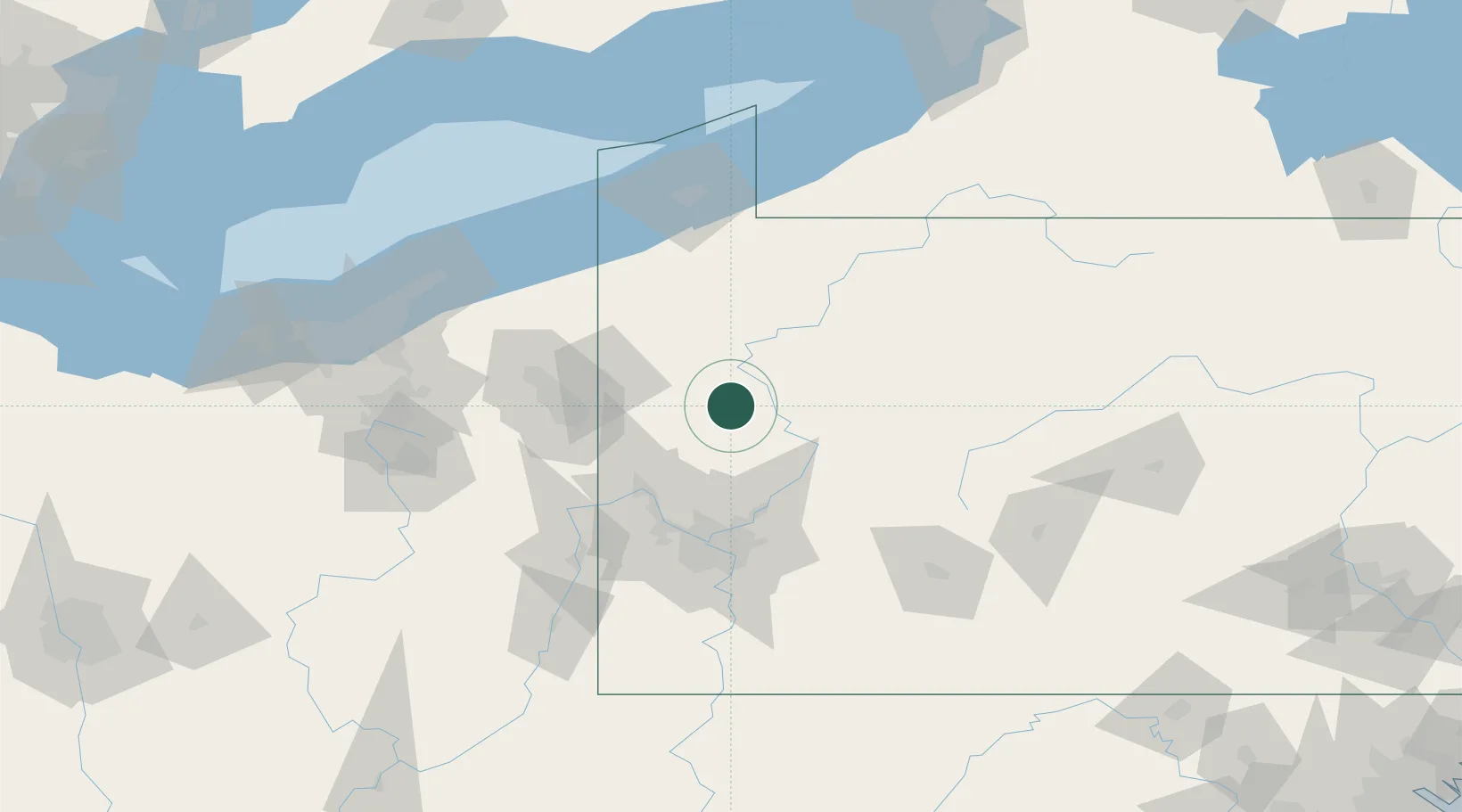
Hub Profile
Place type
Populated place
Region
Pennsylvania
Time zone
America/New_York
Elevation
365 m
Location
Nearby Logistics Neighbours
Cities
- 1Buena Vista16 km
- 2Emlenton17 km
- 3Sandy Lake30 km
- 4Volant31 km
- 5Renfrew34 km
Airports
Trade Zones
- 1FTZ No. 033 Pittsburgh76 km
- 2FTZ No. 295 Central Pennsylvania97 km
- 3FTZ No. 254 Jefferson County102 km
- 4FTZ No. 247 Erie114 km
- 5FTZ No. 181 Akron Canton157 km
DatabookThe Record of Consolidated Knowledge
United States beyond logistics?