Transport Functions
Rail
Road
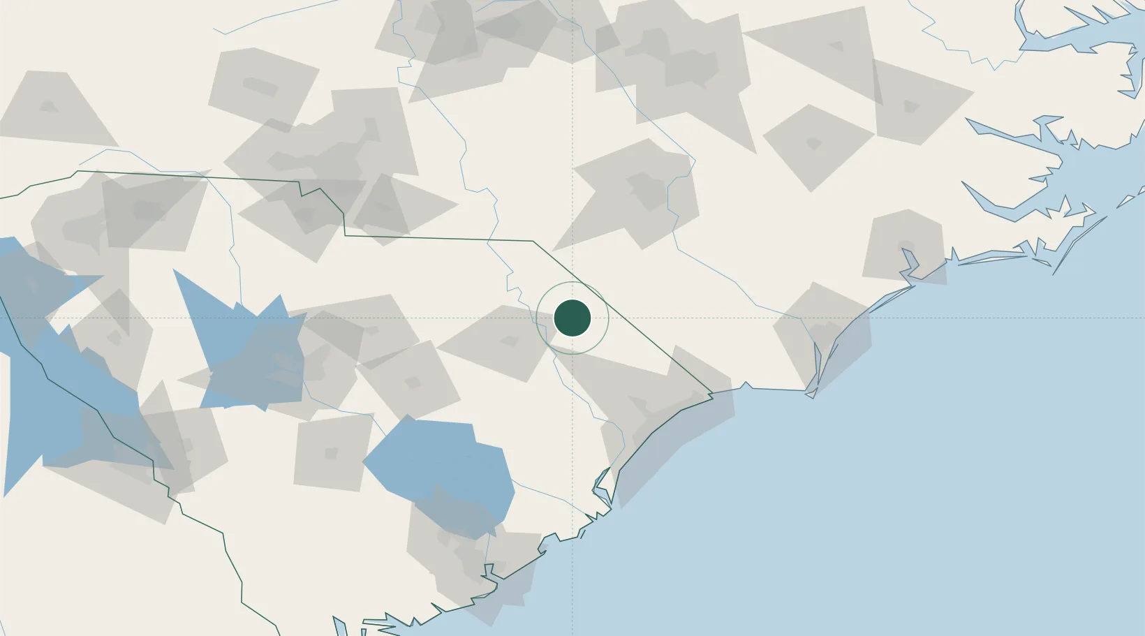
Hub Profile
Place type
Populated place
Region
South Carolina
Population
1,351
Time zone
America/New_York
Elevation
32 m
Location
Nearby Logistics Neighbours
Ports
- 1Georgetown108 km
- 2Wilmington135 km
- 3Southport137 km
- 4Wrightsville148 km
- 5Charleston179 km
Airports
Trade Zones
- 1FTZ No. 127 West Columbia162 km
- 2FTZ No. 214 Lenoir County170 km
- 3FTZ No. 093 Raleigh Durham181 km
- 4FTZ No. 057 Mecklenburg County184 km
- 5FTZ No. 021 Dorchester County184 km
DatabookThe Record of Consolidated Knowledge
United States beyond logistics?