Transport Functions
Rail
Road
Hub Profile
Place type
Populated place
Region
Alabama
Time zone
America/Chicago
Elevation
126 m
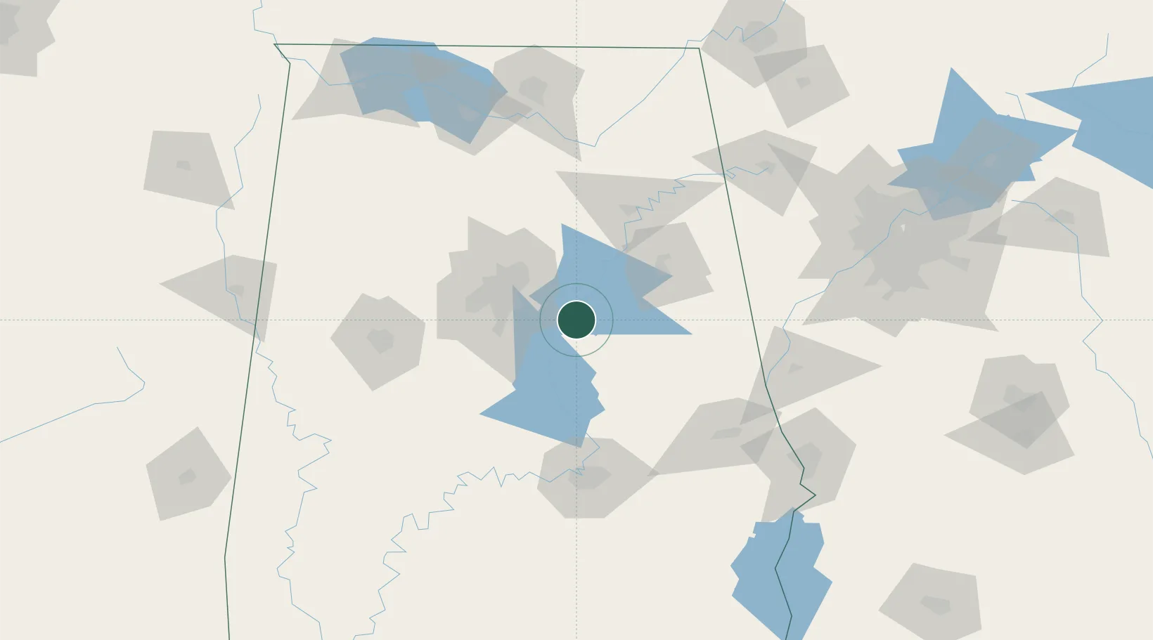
Location
Nearby Logistics Neighbours
Cities
- 1Childersburg6 km
- 2Harpersville8 km
- 3Vincent8 km
- 4Chelsea25 km
- 5Cropwell25 km
Ports
- 1Pensacola336 km
- 2Mobile339 km
- 3Panama City362 km
- 4Pascagoula392 km
- 5Port Of Memphis400 km
Airports
Trade Zones
- 1FTZ No. 098 Birmingham48 km
- 2FTZ No. 222 Montgomery107 km
- 3FTZ No. 083 Huntsville151 km
- 4FTZ No. 270 Lawrence County154 km
- 5FTZ No. 265 Conroe (Montgomery County)158 km
DatabookThe Record of Consolidated Knowledge
United States beyond logistics?