UN/LOCODE hub · United States
USZAL
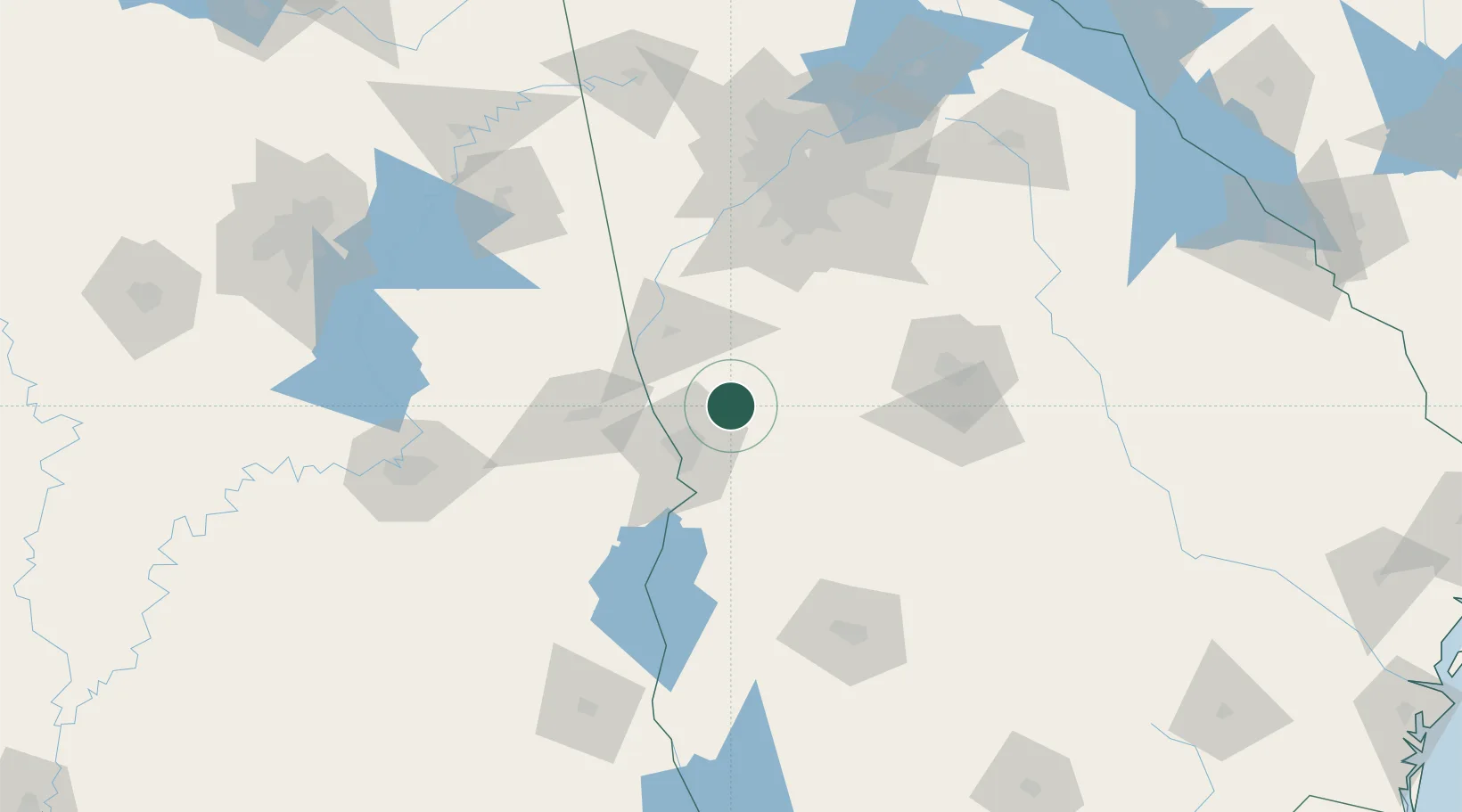
Waverly Hall
32.6833°, -84.7333°
823
Population
4
Transport functions
Transport Functions
Port
Rail
Road
Multimodal
Hub Profile
Place type
Populated place
Region
Georgia
Population
823
Time zone
America/New_York
Elevation
223 m
Location
Nearby Logistics Neighbours
Cities
- 1Pine Mountain Valley16 km
- 2Junction City27 km
- 3Woodbury37 km
- 4Molena43 km
- 5Buena Vista46 km
Ports
- 1Panama City297 km
- 2Carrabelle315 km
- 3Port St Joe324 km
- 4Apalachicola331 km
- 5Darien344 km
Airports
Trade Zones
- 1FTZ No. 026 Atlanta124 km
- 2FTZ No. 222 Montgomery152 km
- 3FTZ No. 233 Dothan175 km
- 4FTZ No. 098 Birmingham215 km
- 5FTZ No. 134 Chattanooga275 km
DatabookThe Record of Consolidated Knowledge
United States beyond logistics?