Transport Functions
Rail
Road
Hub Profile
Place type
Populated place
Region
Idaho
Population
467
Time zone
America/Boise
Elevation
1,393 m
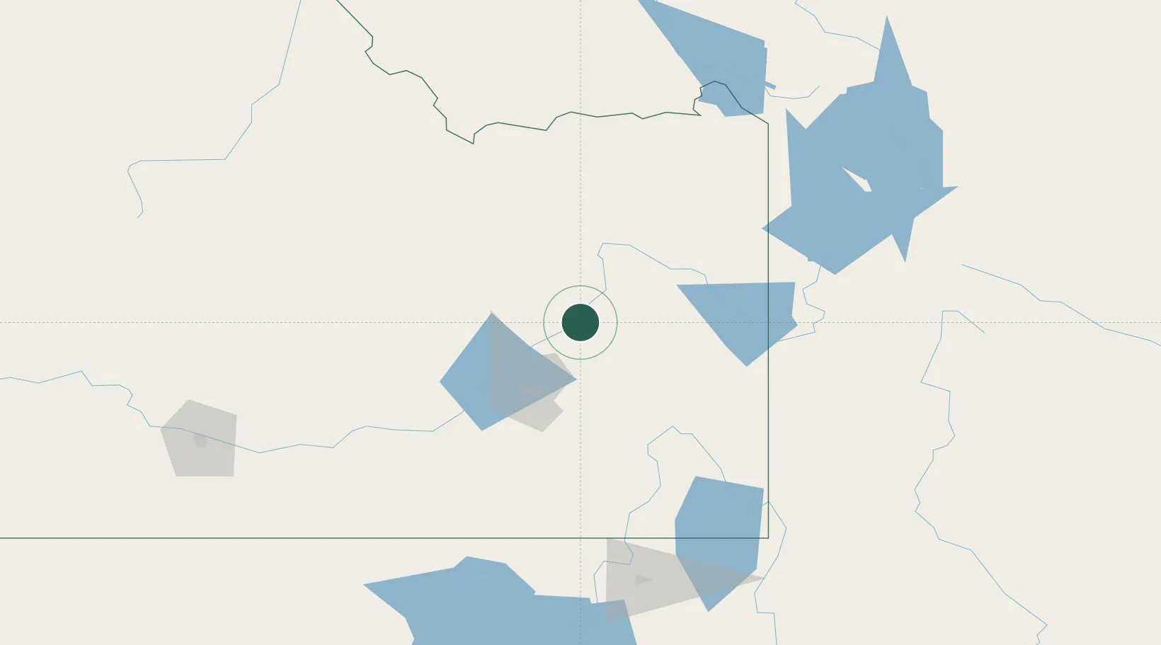
Location
Nearby Logistics Neighbours
Ports
- 1The Dalles758 km
- 2Sacramento941 km
- 3Courtland963 km
- 4Walnut Grove966 km
- 5Stockton972 km
Airports
- 1Idaho Falls Regional Airport26 km
- 2Pocatello Regional Airport55 km
- 3Jackson Hole Airport122 km
- 4Burley Municipal Airport154 km
- 5Logan-Cache Airport170 km
Trade Zones
- 1FTZ No. 030 Salt Lake City281 km
- 2FTZ No. 274 Butte-Silver Bow295 km
- 3FTZ No. 275 Lansing303 km
- 4FTZ No. 280 Ada and Canyon Counties395 km
- 5FTZ No. 088 Great Falls471 km
DatabookThe Record of Consolidated Knowledge
United States beyond logistics?