Medium airport · United States

Desert Rock AirportKDRA

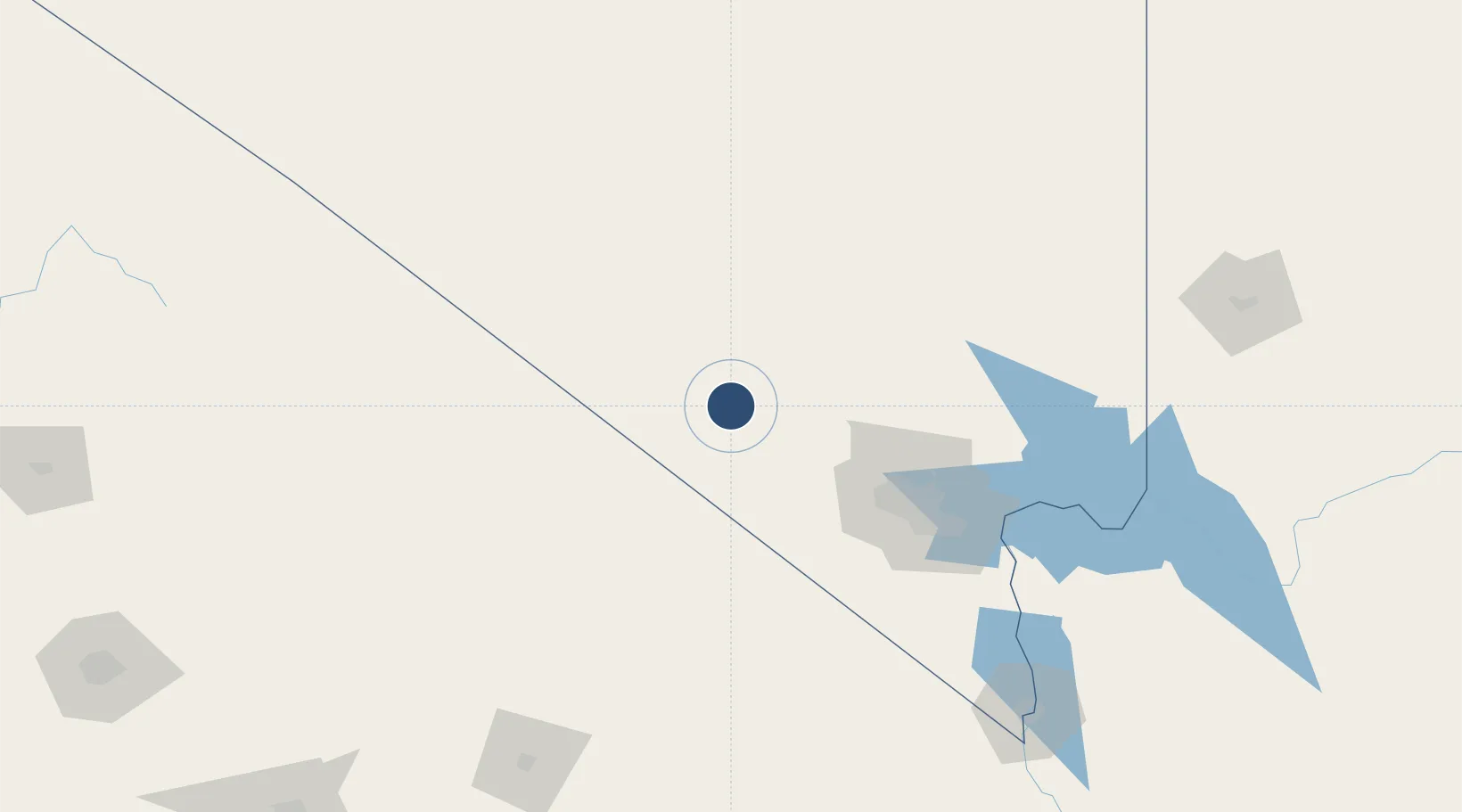
36.6194°, -116.0330°
7,515 ft
Longest runway
1
Runways
3,314 ft
Elevation

Runway & Layout

Desert Rock Airport runway & taxiway layout
Runway & taxiway layout — OpenStreetMap (ODbL) / OurAirports

Radio Frequencies

ASOS
119.675 MHz
AAS
118.7 MHz
MERCURY RDO
UNIC
122.8 MHz
CTAF/UNICOM
OurAirports

Runways · 1

RunwayDimensions SurfaceTrue headingLit
02/20 7,515 × 100ft Asphalt 034°
OurAirports

Airport Specifications

IATA code
DRA
OurAirports
ICAO code
KDRA
OurAirports
Airport class
Medium airport
OurAirports
Scheduled service
No
OurAirports
Runway surface
Asphalt
OurAirports
Served city
Mercury
OurAirports

Location

Location of KDRA
Natural Earth 10m (public domain) · Nevada · KDRA · 36.62, -116.03GoogleOSMYandex

Nearby Logistics Neighbours

Airports
  1. 1Homey (Area 51) Airport71 km
  2. 2North Las Vegas Airport88 km
  3. 3Harry Reid International Airport99 km
  4. 4Nellis Air Force Base99 km
  5. 5Boulder City Municipal Airport129 km
Nearest neighbours — logibook spatial index (haversine) over the source coordinates
Cities
  1. 1Shoshone76 km
  2. 2North Las Vegas93 km
  3. 3Las Vegas99 km
  4. 4Nellis Air Force Base101 km
  5. 5Alamo113 km
Nearest neighbours — logibook spatial index (haversine) over the source coordinates
Ports
  1. 1El Segundo371 km
  2. 2Long Beach373 km
  3. 3Newport Beach375 km
  4. 4Los Angeles377 km
  5. 5Ventura393 km
Nearest neighbours — logibook spatial index (haversine) over the source coordinates
Trade Zones
  1. 1FTZ No. 170 Clark County78 km
  2. 2FTZ No. 089 Clark County78 km
  3. 3FTZ No. 243 Victorville256 km
  4. 4FTZ No. 191 Palmdale295 km
  5. 5FTZ No. 276 Kern County302 km
Nearest neighbours — logibook spatial index (haversine) over the source coordinates
DatabookThe Record of Consolidated Knowledge
United States beyond logistics?
Browse databook

All Sources

AirportsOurAirports
Public domain
Portsthe NGA World Port Index
Public domain (US gov)
LocationsUN/LOCODE
UN/LOCODE — free
Trade Zonesthe World Bank SEZ database
CC BY 4.0
Trade ZonesOpen Zone Map
CC BY
InfrastructureOpenStreetMap
ODbL 1.0
← United States airports