Transport Functions
Multimodal
Hub Profile
Place type
Provincial seat
Region
Alabama
Population
809
Time zone
America/Chicago
Elevation
259 m
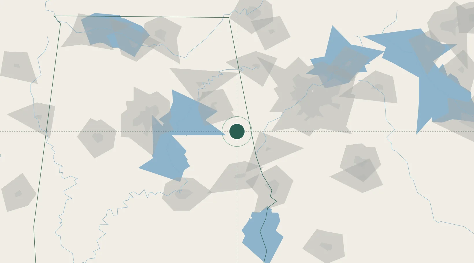
Location
Nearby Logistics Neighbours
Ports
- 1Panama City353 km
- 2Pensacola362 km
- 3Mobile383 km
- 4Port St Joe388 km
- 5Carrabelle391 km
Airports
Trade Zones
- 1FTZ No. 026 Atlanta114 km
- 2FTZ No. 098 Birmingham126 km
- 3FTZ No. 222 Montgomery129 km
- 4FTZ No. 083 Huntsville191 km
- 5FTZ No. 270 Lawrence County199 km
DatabookThe Record of Consolidated Knowledge
United States beyond logistics?