UN/LOCODE hub · United States
USFUI
Fruithurst
33.7167°, -85.4333°
282
Population
2
Transport functions
Transport Functions
Road
Multimodal
Hub Profile
Place type
Populated place
Region
Alabama
Population
282
Time zone
America/Chicago
Elevation
329 m
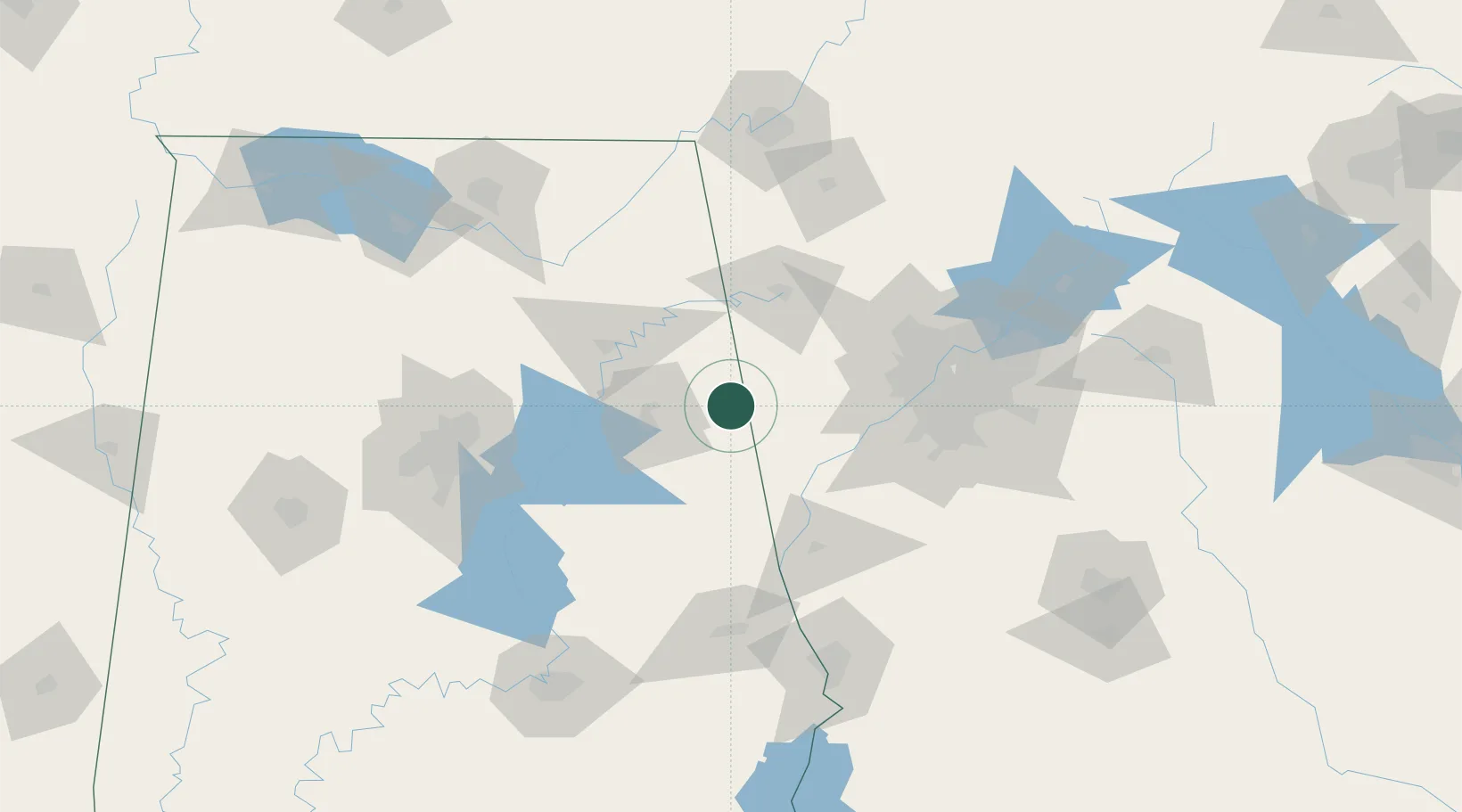
Location
Nearby Logistics Neighbours
Cities
- 1Tallapoosa14 km
- 2Bremen26 km
- 3Piedmont27 km
- 4Delta39 km
- 5Trinity43 km
Ports
- 1Panama City399 km
- 2Pensacola405 km
- 3Mobile421 km
- 4Port St Joe434 km
- 5Carrabelle436 km
Airports
Trade Zones
- 1FTZ No. 026 Atlanta97 km
- 2FTZ No. 098 Birmingham129 km
- 3FTZ No. 134 Chattanooga154 km
- 4FTZ No. 083 Huntsville160 km
- 5FTZ No. 222 Montgomery170 km
DatabookThe Record of Consolidated Knowledge
United States beyond logistics?