UN/LOCODE hub · United States
USNS2
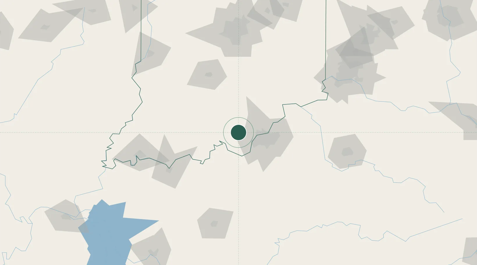
New Salisbury
38.3167°, -86.1000°
613
Population
2
Transport functions
Transport Functions
Rail
Road
Hub Profile
Place type
Populated place
Region
Indiana
Population
613
Time zone
America/Kentucky/Louisville
Elevation
222 m
Location
Nearby Logistics Neighbours
Cities
- 1Ramsey4 km
- 2Lanesville14 km
- 3New Middletown19 km
- 4Starlight21 km
- 5Marengo21 km
Ports
- 1Gary382 km
- 2Michigan City386 km
- 3Indiana Harbor389 km
- 4Calumet Harbor399 km
- 5Chicago417 km
Airports
- 1Louisville Muhammad Ali International Airport36 km
- 2Bowman Field39 km
- 3Godman Army Air Field47 km
- 4Monroe County Airport103 km
- 5Columbus Municipal Airport107 km
Trade Zones
- 1FTZ No. 029 Louisville27 km
- 2FTZ No. 047 Boone County127 km
- 3FTZ No. 177 Evansville137 km
- 4FTZ No. 072 Indianapolis157 km
- 5FTZ No. 046 CIncinnati163 km
DatabookThe Record of Consolidated Knowledge
United States beyond logistics?