Transport Functions
Road
Multimodal
Hub Profile
Region
MD
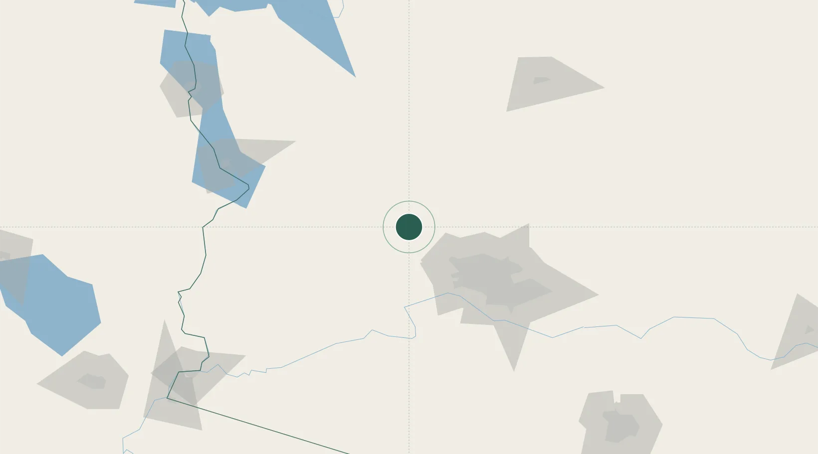
Location
Nearby Logistics Neighbours
Cities
- 1Wickenburg2 km
- 2El Mirage56 km
- 3Black Canyon City56 km
- 4New River57 km
- 5Litchfield Park63 km
Ports
- 1Ensenada431 km
- 2San Diego435 km
- 3Rosarito442 km
- 4Newport Beach478 km
- 5Long Beach502 km
Airports
Trade Zones
- 1FTZ No. 277 Western Maricopa County66 km
- 2FTZ No. 075 Phoenix85 km
- 3FTZ No. 221 Mesa105 km
- 4FTZ No. 219 Yuma223 km
- 5FTZ No. 174 Pima County251 km
DatabookThe Record of Consolidated Knowledge
United States beyond logistics?