UN/LOCODE hub · United States
USWXX
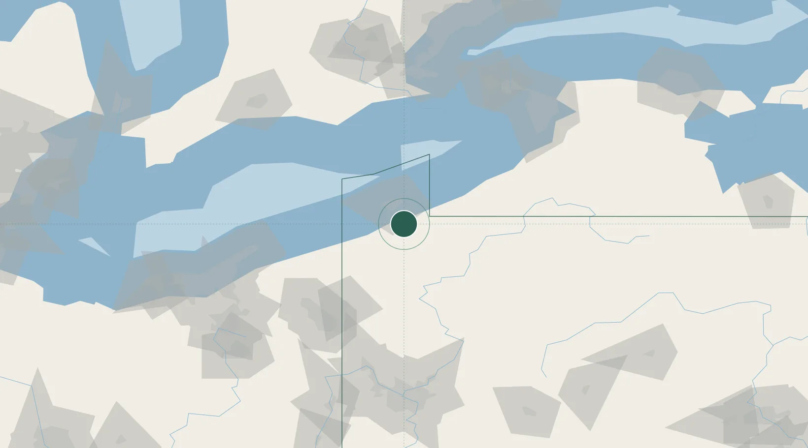
Waterford
41.9333°, -79.9833°
1,538
Population
2
Transport functions
Transport Functions
Rail
Road
Hub Profile
Place type
Populated place
Region
Pennsylvania
Population
1,538
Time zone
America/New_York
Elevation
367 m
Location
Nearby Logistics Neighbours
Cities
- 1Edinboro13 km
- 2Erie22 km
- 3Fairview24 km
- 4Harborcreek26 km
- 5Spartansburg28 km
Ports
- 1Erie26 km
- 2Conneaut47 km
- 3Ashtabula68 km
- 4Dunkirk81 km
- 5Port Dover96 km
Airports
Trade Zones
- 1FTZ No. 247 Erie23 km
- 2FTZ No. 254 Jefferson County117 km
- 3FTZ No. 023 Buffalo139 km
- 4FTZ No. 295 Central Pennsylvania139 km
- 5Niagara Foreign Trade Zone150 km
DatabookThe Record of Consolidated Knowledge
United States beyond logistics?