Free Zone · Uganda

Kaweweta Special Economic Zone
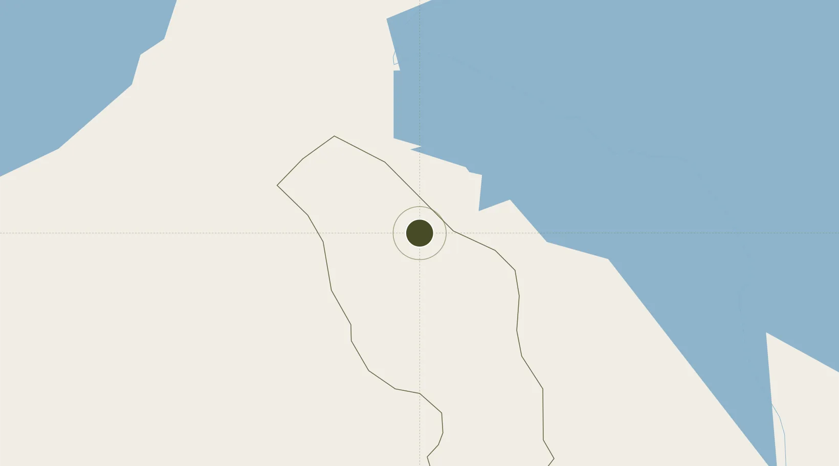
1.2417°, 32.1659°
1,013.1 km
Nearest port
136.9 km
Nearest airport

Gateway access

Nearest neighbours — logibook spatial index (haversine) over the source coordinates

Zone profile

Zone type
Free Zone
the World Bank SEZ database
Region
Nakaseke
the World Bank SEZ database
Established
2014
the World Bank SEZ database
Management
Private management
the World Bank SEZ database
Operator
ASB Group (Turkey)
the World Bank SEZ database
Regulatory authority
Uganda Free Zones Authority (UFZA)
the World Bank SEZ database
Legal framework
Free Zones Act
the World Bank SEZ database

Location

Location of UGA1
Natural Earth 10m (public domain) · Nakaseke · UGA1 · 1.24, 32.17GoogleOSMYandex

Fiscal & incentives

Corporate tax
30%
the World Bank SEZ database
Tax relief
100% exempt
the World Bank SEZ database
Relief duration
10 years
the World Bank SEZ database
VAT
No exemption
the World Bank SEZ database
Import duty (inputs)
100% exempt
the World Bank SEZ database
Import duty (capex)
100% exempt
the World Bank SEZ database
Profit repatriation
No exemption
the World Bank SEZ database
Capital gains
No exemption
the World Bank SEZ database
Withholding tax
100% exempt from personal income tax on technical assistance hire
the World Bank SEZ database
Min. investment
None
the World Bank SEZ database
Min. export
0%
the World Bank SEZ database
Employment incentive
No exemption
the World Bank SEZ database
Developer incentive
Yes
the World Bank SEZ database

Nearby Logistics Neighbours

Ports
  1. 1Kilifi1013 km
  2. 2Malindi1015 km
  3. 3Mombasa1021 km
  4. 4Tanga1044 km
  5. 5Lamu1046 km
Nearest neighbours — logibook spatial index (haversine) over the source coordinates
Airports
  1. 1Entebbe International Airport137 km
  2. 2Soroti Airport171 km
  3. 3Gulu Airport174 km
  4. 4Bunia Airport219 km
  5. 5Arua Airport245 km
Nearest neighbours — logibook spatial index (haversine) over the source coordinates
Cities
  1. 1Galiraya78 km
  2. 2Mukono119 km
  3. 3Rwamagana208 km
  4. 4Malaba244 km
  5. 5Siaya269 km
Nearest neighbours — logibook spatial index (haversine) over the source coordinates
Trade Zones
  1. 1Luwero Industrial Park63 km
  2. 2Hoima Industrial Park94 km
  3. 3Kamuli Science Technology & Innovations Park111 km
  4. 4Namanve Industrial Park115 km
  5. 5Mubende Industrial Park116 km
Nearest neighbours — logibook spatial index (haversine) over the source coordinates
DatabookThe Record of Consolidated Knowledge
Uganda beyond logistics?
Browse databook

All Sources

Trade Zonesthe World Bank SEZ database
CC BY 4.0
Portsthe NGA World Port Index
Public domain (US gov)
AirportsOurAirports
Public domain
LocationsUN/LOCODE
UN/LOCODE — free
← Uganda trade zones