Transport Functions
Rail
Road
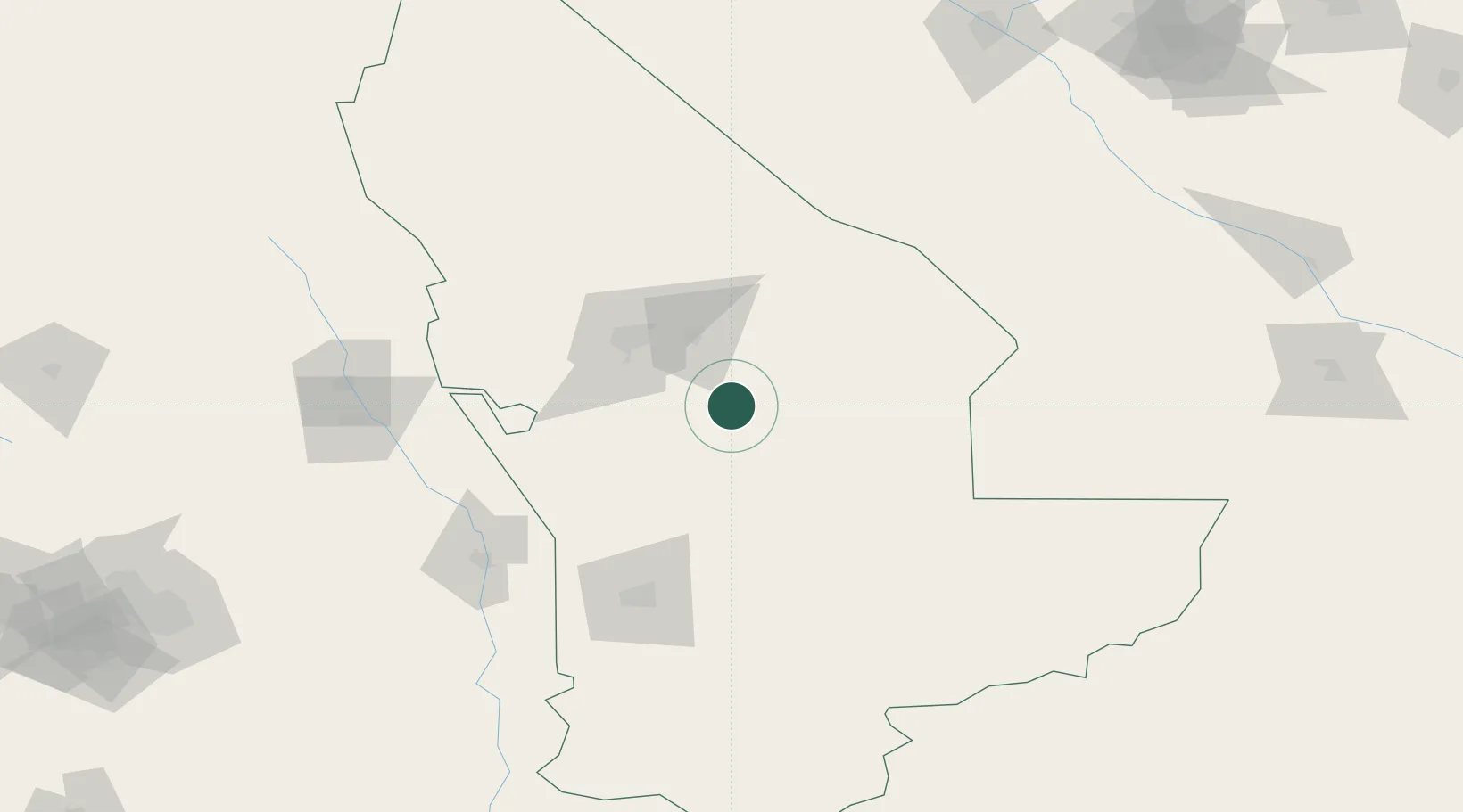
Location
Nearby Logistics Neighbours
Cities
- 1Bayramaly39 km
- 2Murgap40 km
- 3Tejen165 km
- 4Turkmenabat227 km
- 5Galkynys229 km
Ports
- 1Jazireh-Ye Hormoz1262 km
- 2Bandar Abbas1268 km
- 3Bandar-E Shahid Rejaie1278 km
- 4Chah Bahar1348 km
- 5Gwadar1353 km
Airports
- 1Mary International Airport54 km
- 2Mary North Airport61 km
- 3Sarakhs Airport145 km
- 4Türkmenabat International Airport210 km
- 5Maymana Zahiraddin Faryabi Airport264 km
Trade Zones
DatabookThe Record of Consolidated Knowledge
Turkmenistan beyond logistics?