Transport Functions
Rail
Road
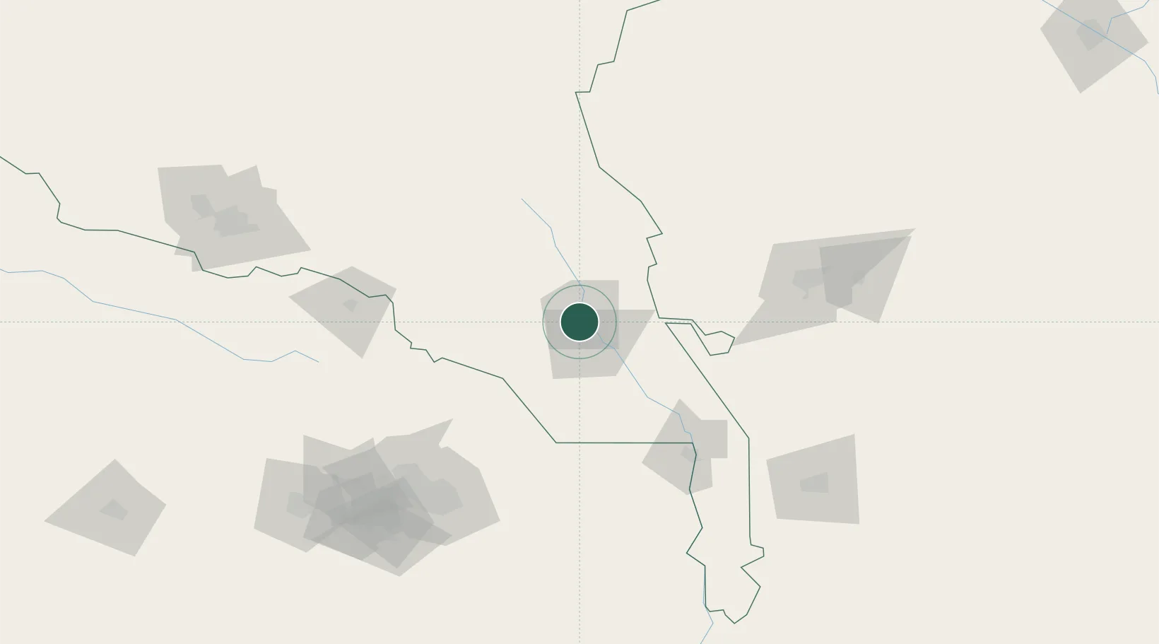
Hub Profile
Place type
Populated place
Region
Ahal
Population
67,488
Time zone
Asia/Ashgabat
Elevation
190 m
Location
Nearby Logistics Neighbours
Cities
- 1Kaka78 km
- 2Murgap132 km
- 3Bayramaly151 km
- 4Yolöten165 km
- 5Altyn Asyr195 km
Ports
- 1Jazireh-Ye Hormoz1203 km
- 2Bandar Abbas1205 km
- 3Bandar-E Shahid Rejaie1214 km
- 4Bushehr1293 km
- 5Khawr Khasab1303 km
Airports
- 1Sarakhs Airport109 km
- 2Mary North Airport123 km
- 3Mary International Airport128 km
- 4Mashhad International Airport146 km
- 5Ashgabat International Airport199 km
Trade Zones
DatabookThe Record of Consolidated Knowledge
Turkmenistan beyond logistics?