Transport Functions
Rail
Road
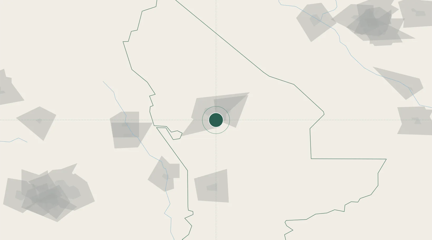
Hub Profile
Place type
Populated place
Region
Mary
Time zone
Asia/Ashgabat
Elevation
229 m
Location
Nearby Logistics Neighbours
Ports
- 1Jazireh-Ye Hormoz1265 km
- 2Bandar Abbas1270 km
- 3Bandar-E Shahid Rejaie1280 km
- 4Khawr Khasab1364 km
- 5Bushehr1400 km
Airports
- 1Mary International Airport17 km
- 2Mary North Airport24 km
- 3Sarakhs Airport135 km
- 4Türkmenabat International Airport213 km
- 5Mashhad International Airport249 km
Trade Zones
DatabookThe Record of Consolidated Knowledge
Turkmenistan beyond logistics?