UN/LOCODE hub · Turkmenistan
TMTK5
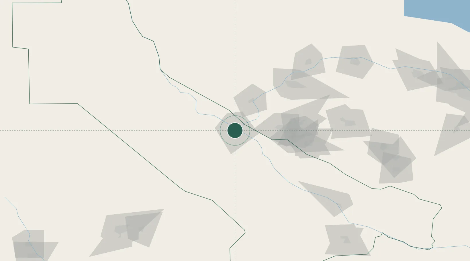
Turkmenabat
39.1000°, 63.5667°
234,817
Population
2
Transport functions
Transport Functions
Rail
Road
Hub Profile
Place type
Regional capital
Region
Lebap
Population
234,817
Time zone
Asia/Ashgabat
Elevation
191 m
Location
Nearby Logistics Neighbours
Ports
- 1Jazireh-Ye Hormoz1489 km
- 2Bandar Abbas1494 km
- 3Bandar-E Shahid Rejaie1505 km
- 4Khawr Khasab1587 km
- 5Bushehr1622 km
Airports
- 1Türkmenabat International Airport19 km
- 2Bukhara International Airport109 km
- 3Navoi International Airport178 km
- 4Karshi Airport194 km
- 5Mary International Airport220 km
Trade Zones
DatabookThe Record of Consolidated Knowledge
Turkmenistan beyond logistics?