UN/LOCODE hub · Turkmenistan
TMBAY
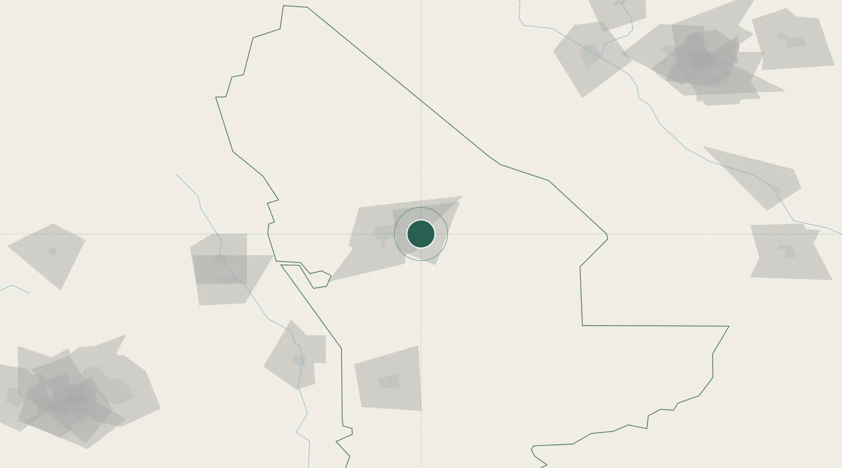
Bayramaly
37.6167°, 62.1667°
70,376
Population
2
Transport functions
Transport Functions
Rail
Road
Hub Profile
Place type
Populated place
Region
Mary
Population
70,376
Time zone
Asia/Ashgabat
Elevation
239 m
Location
Nearby Logistics Neighbours
Cities
- 1Murgap23 km
- 2Yolöten39 km
- 3Tejen151 km
- 4Galkynys202 km
- 5Turkmenabat205 km
Ports
- 1Jazireh-Ye Hormoz1286 km
- 2Bandar Abbas1291 km
- 3Bandar-E Shahid Rejaie1301 km
- 4Chah Bahar1381 km
- 5Khawr Khasab1385 km
Airports
- 1Mary International Airport24 km
- 2Mary North Airport30 km
- 3Sarakhs Airport158 km
- 4Türkmenabat International Airport190 km
- 5Mashhad International Airport272 km
Trade Zones
DatabookThe Record of Consolidated Knowledge
Turkmenistan beyond logistics?