Medium airport · Afghanistan

Maymana Zahiraddin Faryabi AirportOAMN
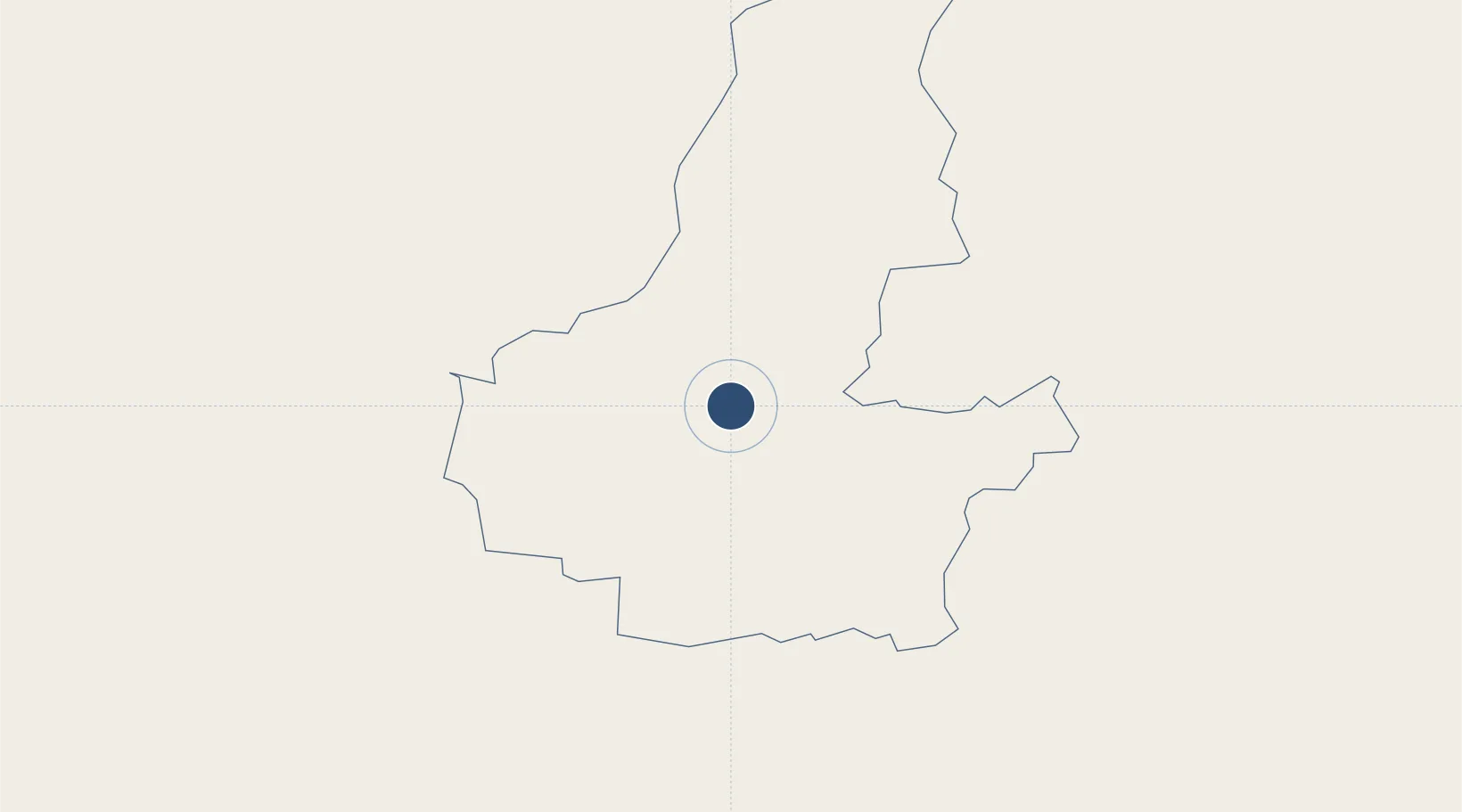
35.9308°, 64.7609°
5,090 ft
Longest runway
1
Runways
2,743 ft
Elevation

Runway & Layout

Maymana Zahiraddin Faryabi Airport runway & taxiway layout
Runway & taxiway layout — OpenStreetMap (ODbL) / OurAirports

Radio Frequencies

RDO
118.1 MHz
OurAirports

Runways · 1

RunwayDimensions SurfaceTrue headingLit
14/32 5,090 × 76ft Gravel 143°
OurAirports

Airport Specifications

IATA code
MMZ
OurAirports
ICAO code
OAMN
OurAirports
Airport class
Medium airport
OurAirports
Scheduled service
Yes
OurAirports
Runway surface
Gravel
OurAirports
Served city
Maymana
OurAirports

Location

Location of OAMN
Natural Earth 10m (public domain) · Faryab · OAMN · 35.93, 64.76GoogleOSMYandex

Nearby Logistics Neighbours

Airports
  1. 1Mazar-i-Sharif International Airport236 km
  2. 2Termez Airport273 km
  3. 3Herat - Khwaja Abdullah Ansari International Airport300 km
  4. 4Mary International Airport317 km
  5. 5Mary North Airport325 km
Nearest neighbours — logibook spatial index (haversine) over the source coordinates
Cities
  1. 1Dehdadi215 km
  2. 2Kerkichi218 km
  3. 3Halach238 km
  4. 4Yolöten264 km
  5. 5Termez266 km
Nearest neighbours — logibook spatial index (haversine) over the source coordinates
Ports
  1. 1Gwadar1223 km
  2. 2Chah Bahar1250 km
  3. 3Karachi1258 km
  4. 4Jazireh-Ye Hormoz1258 km
  5. 5Muhamamad Bin Qasim1266 km
Nearest neighbours — logibook spatial index (haversine) over the source coordinates
Trade Zones
  1. 1Aqina Special Economic Zone151 km
  2. 2Mazar-i-Sharif Mazar Special Economic Zone236 km
  3. 3Balkh Special Economic Zone237 km
  4. 4Toraghundi Special Economic Zone237 km
  5. 5Termez Termiz Free Economic Zone267 km
Nearest neighbours — logibook spatial index (haversine) over the source coordinates
DatabookThe Record of Consolidated Knowledge
Afghanistan beyond logistics?
Browse databook

All Sources

AirportsOurAirports
Public domain
Portsthe NGA World Port Index
Public domain (US gov)
LocationsUN/LOCODE
UN/LOCODE — free
Trade Zonesthe World Bank SEZ database
CC BY 4.0
Trade ZonesOpen Zone Map
CC BY
InfrastructureOpenStreetMap
ODbL 1.0
← Afghanistan airports