Transport Functions
Rail
Road
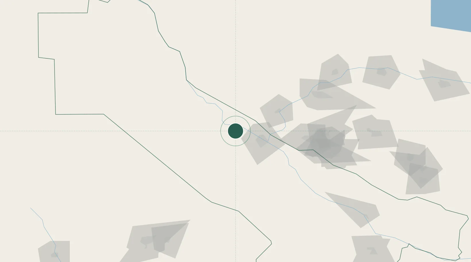
Hub Profile
Place type
Populated place
Region
Lebap
Population
7,932
Time zone
Asia/Ashgabat
Elevation
182 m
Location
Nearby Logistics Neighbours
Cities
- 1Turkmenabat37 km
- 2Farap37 km
- 3Halach198 km
- 4Bayramaly202 km
- 5Nawoiy209 km
Ports
- 1Jazireh-Ye Hormoz1488 km
- 2Bandar Abbas1493 km
- 3Bandar-E Shahid Rejaie1503 km
- 4Khawr Khasab1587 km
- 5Bushehr1608 km
Airports
- 1Türkmenabat International Airport48 km
- 2Bukhara International Airport126 km
- 3Navoi International Airport196 km
- 4Mary North Airport212 km
- 5Mary International Airport213 km
Trade Zones
DatabookThe Record of Consolidated Knowledge
Turkmenistan beyond logistics?