Specialized Zone · Uzbekistan

Bukhoro-agro Free Economic Zone Active

39.7648°, 64.4268°
3,000 ha
Zone area
1,589.2 km
Nearest port
5.0 km
Nearest airport

Gateway access

Nearest neighbours — logibook spatial index (haversine) over the source coordinates

Zone profile

Zone type
Specialized Zone
Open Zone Map
Specialization
Agriculture
Open Zone Map
Region
Bukhoro
Open Zone Map
Status
Active
Open Zone Map
Management
Public
Open Zone Map
Operator
Directorate of FEZ Bukhoro-Agro
Open Zone Map
Legal framework
Resolution of the President of the Republic of Uzbekistan of July 10, 2018, No. RP-3843.
Open Zone Map

Location

Location of ozm-5009
Natural Earth 10m (public domain) · Bukhoro · ozm-5009 · 39.76, 64.43GoogleOSMYandex

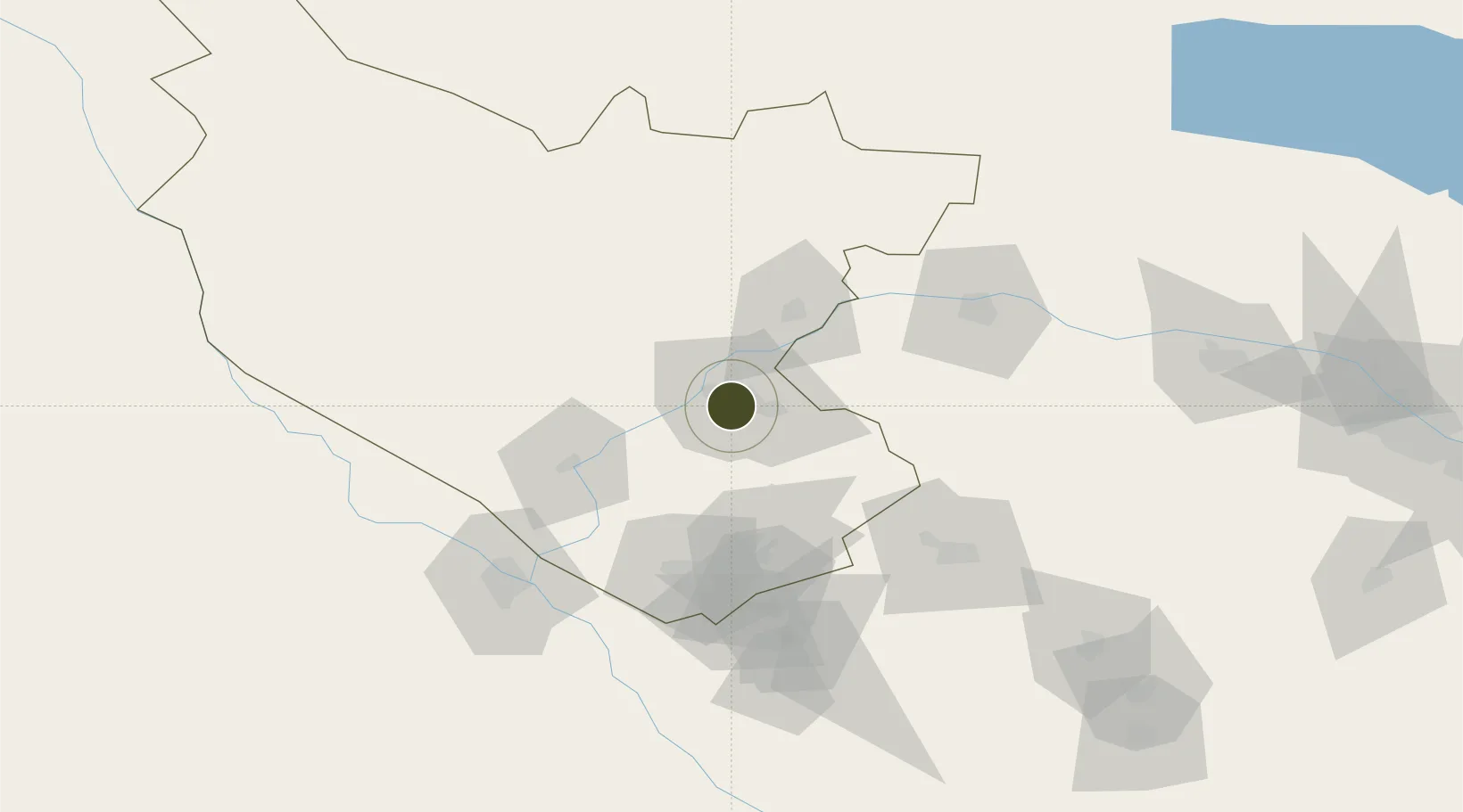
Nearby Logistics Neighbours

Ports
  1. 1Jazireh-Ye Hormoz1589 km
  2. 2Bandar Abbas1595 km
  3. 3Bandar-E Shahid Rejaie1606 km
  4. 4Gwadar1639 km
  5. 5Chah Bahar1651 km
Nearest neighbours — logibook spatial index (haversine) over the source coordinates
Airports
  1. 1Bukhara International Airport5 km
  2. 2Navoi International Airport75 km
  3. 3Türkmenabat International Airport119 km
  4. 4Karshi Airport158 km
  5. 5Sugraly Airport206 km
Nearest neighbours — logibook spatial index (haversine) over the source coordinates
Cities
  1. 1Nawoiy88 km
  2. 2Farap97 km
  3. 3Turkmenabat105 km
  4. 4Galkynys121 km
  5. 5Karshi172 km
Nearest neighbours — logibook spatial index (haversine) over the source coordinates
Trade Zones
  1. 1Gijduvon Free Economic Zone41 km
  2. 2Navoi Free Industrial Economic Zone74 km
  3. 3Chirakchi Free Economic Zone200 km
  4. 4Urgut Free Economic Zone244 km
  5. 5Aqina Special Economic Zone291 km
Nearest neighbours — logibook spatial index (haversine) over the source coordinates
DatabookThe Record of Consolidated Knowledge
Uzbekistan beyond logistics?
Browse databook

All Sources

Trade ZonesOpen Zone Map
CC BY
Portsthe NGA World Port Index
Public domain (US gov)
AirportsOurAirports
Public domain
LocationsUN/LOCODE
UN/LOCODE — free
← Uzbekistan trade zones