Diversified Zone · Afghanistan

Aqina Special Economic Zone Under Development
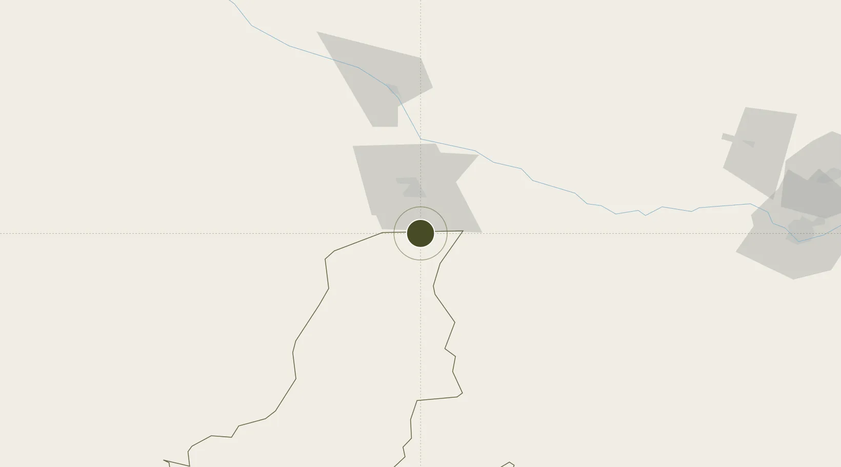
37.2284°, 65.2638°
1,373.9 km
Nearest port
151.1 km
Nearest airport

Gateway access

Nearest neighbours — logibook spatial index (haversine) over the source coordinates

Zone profile

Zone type
Diversified Zone
Open Zone Map
Region
Faryab
Open Zone Map
Status
Under Development
Open Zone Map
Management
Public
Open Zone Map
Operator
Afghanistan Airfield Economic Development Commission (AAEDC)
Open Zone Map
Legal framework
Presidential Decree # July 2015, Afghanistan Customs Law 2005.
Open Zone Map

Location

Location of ozm-4
Natural Earth 10m (public domain) · Faryab · ozm-4 · 37.23, 65.26GoogleOSMYandex

Nearby Logistics Neighbours

Ports
  1. 1Gwadar1374 km
  2. 2Karachi1393 km
  3. 3Jazireh-Ye Hormoz1397 km
  4. 4Muhamamad Bin Qasim1400 km
  5. 5Chah Bahar1401 km
Nearest neighbours — logibook spatial index (haversine) over the source coordinates
Airports
  1. 1Maymana Zahiraddin Faryabi Airport151 km
  2. 2Karshi Airport181 km
  3. 3Termez Airport181 km
  4. 4Mazar-i-Sharif International Airport183 km
  5. 5Türkmenabat International Airport241 km
Nearest neighbours — logibook spatial index (haversine) over the source coordinates
Cities
  1. 1Kerkichi69 km
  2. 2Halach99 km
  3. 3Karshi164 km
  4. 4Dehdadi166 km
  5. 5Termez177 km
Nearest neighbours — logibook spatial index (haversine) over the source coordinates
Trade Zones
  1. 1Boysun-pharm Free Economic Zone179 km
  2. 2Termez Termiz Free Economic Zone179 km
  3. 3Mazar-i-Sharif Mazar Special Economic Zone182 km
  4. 4Balkh Special Economic Zone184 km
  5. 5Chirakchi Free Economic Zone231 km
Nearest neighbours — logibook spatial index (haversine) over the source coordinates
DatabookThe Record of Consolidated Knowledge
Afghanistan beyond logistics?
Browse databook

All Sources

Trade ZonesOpen Zone Map
CC BY
Portsthe NGA World Port Index
Public domain (US gov)
AirportsOurAirports
Public domain
LocationsUN/LOCODE
UN/LOCODE — free
← Afghanistan trade zones