Medium airport · Turkmenistan

Mary North AirportTM-UT52
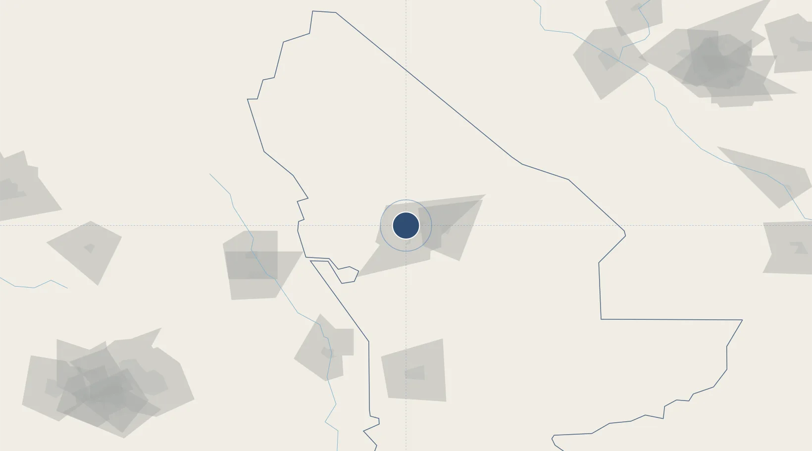
37.6643°, 61.8270°
9,855 ft
Longest runway
1
Runways
728 ft
Elevation

Runway & Layout

Mary North Airport runway & taxiway layout
Runway & taxiway layout — OpenStreetMap (ODbL) / OurAirports

Runways · 1

RunwayDimensions SurfaceTrue headingLit
17/35 9,855 × 148ft Concrete 178°
OurAirports

Airport Specifications

Airport class
Medium airport
OurAirports
Scheduled service
No
OurAirports
Runway surface
Concrete
OurAirports
Served city
Mary
OurAirports

Location

Location of TM-UT52
Natural Earth 10m (public domain) · Mary · TM-UT52 · 37.66, 61.83GoogleOSMYandex

Nearby Logistics Neighbours

Airports
  1. 1Mary International Airport8 km
  2. 2Sarakhs Airport146 km
  3. 3Türkmenabat International Airport207 km
  4. 4Mashhad International Airport251 km
  5. 5Ashgabat International Airport307 km
Nearest neighbours — logibook spatial index (haversine) over the source coordinates
Cities
  1. 1Murgap24 km
  2. 2Bayramaly30 km
  3. 3Yolöten61 km
  4. 4Tejen123 km
  5. 5Kaka200 km
Nearest neighbours — logibook spatial index (haversine) over the source coordinates
Ports
  1. 1Jazireh-Ye Hormoz1278 km
  2. 2Bandar Abbas1282 km
  3. 3Bandar-E Shahid Rejaie1293 km
  4. 4Khawr Khasab1377 km
  5. 5Bushehr1403 km
Nearest neighbours — logibook spatial index (haversine) over the source coordinates
Trade Zones
  1. 1Sarakhs Special Economic Zone139 km
  2. 2Toraghundi Special Economic Zone271 km
  3. 3Atrak Special Economic Zone297 km
  4. 4Aqina Special Economic Zone307 km
  5. 5Bukhoro-agro Free Economic Zone325 km
Nearest neighbours — logibook spatial index (haversine) over the source coordinates
DatabookThe Record of Consolidated Knowledge
Turkmenistan beyond logistics?
Browse databook

All Sources

AirportsOurAirports
Public domain
Portsthe NGA World Port Index
Public domain (US gov)
LocationsUN/LOCODE
UN/LOCODE — free
Trade Zonesthe World Bank SEZ database
CC BY 4.0
Trade ZonesOpen Zone Map
CC BY
InfrastructureOpenStreetMap
ODbL 1.0
← Turkmenistan airports