Large airport · Turkmenistan

Türkmenabat International AirportUTAV
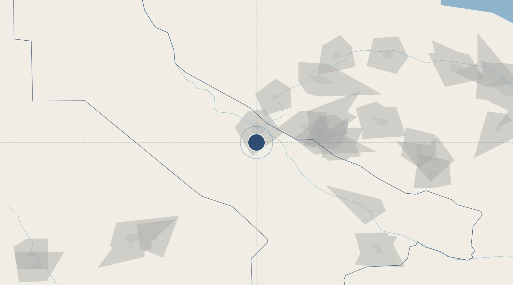
38.9307°, 63.5640°
12,467 ft
Longest runway
1
Runways
649 ft
Elevation

Runway & Layout

Türkmenabat International Airport runway & taxiway layout
Runway & taxiway layout — OpenStreetMap (ODbL) / OurAirports

Radio Frequencies

TWR
120.6 MHz
GND
131.7 MHz
APP
125.8 MHz
OurAirports

Navaids

LBA VOR-DME Turkmenabat 109.20 MHz
NQ NDB Turkmenabat 326 kHz
UT NDB Turkmenabat 326 kHz
OurAirports

Runways · 1

RunwayDimensions SurfaceTrue headingLit
13/31 12,467 × 197ft Concrete 126°
OurAirports

Airport Specifications

IATA code
CRZ
OurAirports
ICAO code
UTAV
OurAirports
Airport class
Large airport
OurAirports
Scheduled service
Yes
OurAirports
Runway surface
Concrete
OurAirports
Served city
Türkmenabat
OurAirports

Location

Location of UTAV
Natural Earth 10m (public domain) · Chardzhou · UTAV · 38.93, 63.56GoogleOSMYandex

Nearby Logistics Neighbours

Airports
  1. 1Bukhara International Airport123 km
  2. 2Navoi International Airport191 km
  3. 3Karshi Airport192 km
  4. 4Mary International Airport206 km
  5. 5Mary North Airport207 km
Nearest neighbours — logibook spatial index (haversine) over the source coordinates
Cities
  1. 1Turkmenabat19 km
  2. 2Farap26 km
  3. 3Galkynys48 km
  4. 4Halach150 km
  5. 5Kerkichi189 km
Nearest neighbours — logibook spatial index (haversine) over the source coordinates
Ports
  1. 1Jazireh-Ye Hormoz1472 km
  2. 2Bandar Abbas1478 km
  3. 3Bandar-E Shahid Rejaie1488 km
  4. 4Khawr Khasab1570 km
  5. 5Bushehr1610 km
Nearest neighbours — logibook spatial index (haversine) over the source coordinates
Trade Zones
  1. 1Bukhoro-agro Free Economic Zone119 km
  2. 2Gijduvon Free Economic Zone159 km
  3. 3Navoi Free Industrial Economic Zone191 km
  4. 4Aqina Special Economic Zone241 km
  5. 5Chirakchi Free Economic Zone259 km
Nearest neighbours — logibook spatial index (haversine) over the source coordinates
DatabookThe Record of Consolidated Knowledge
Turkmenistan beyond logistics?
Browse databook

All Sources

AirportsOurAirports
Public domain
Portsthe NGA World Port Index
Public domain (US gov)
LocationsUN/LOCODE
UN/LOCODE — free
Trade Zonesthe World Bank SEZ database
CC BY 4.0
Trade ZonesOpen Zone Map
CC BY
InfrastructureOpenStreetMap
ODbL 1.0
← Turkmenistan airports