Large airport · Turkmenistan

Mary International AirportUTAM
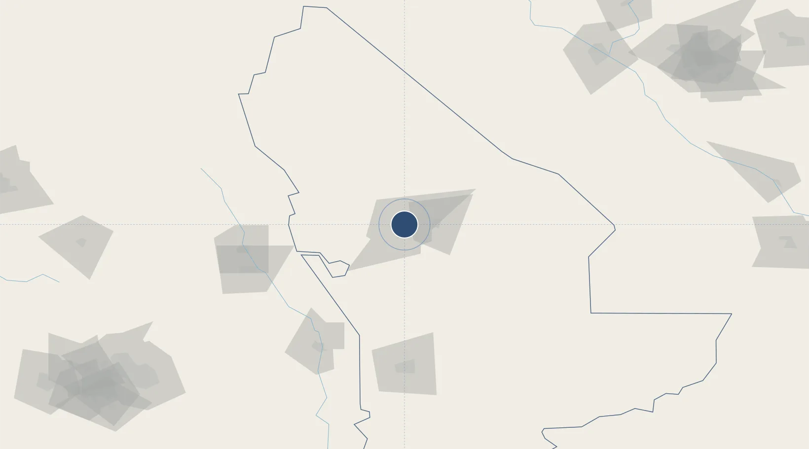
37.6235°, 61.8957°
12,467 ft
Longest runway
2
Runways
728 ft
Elevation

Runway & Layout

Mary International Airport runway & taxiway layout
Runway & taxiway layout — OpenStreetMap (ODbL) / OurAirports

Radio Frequencies

TWR
122.2 MHz
PMSV
128.3 MHz
METEO
RDR
124 MHz
RADAR
OurAirports

Navaids

MP NDB Mary 439 kHz
NS NDB Mary 480 kHz
OurAirports

Runways · 2

RunwayDimensions SurfaceTrue headingLit
17R/35L 12,467 × 148ft Concrete 178°
17L/35R 9,252 × 135ft Concrete 178°
OurAirports

Airport Specifications

IATA code
MYP
OurAirports
ICAO code
UTAM
OurAirports
Airport class
Large airport
OurAirports
Scheduled service
Yes
OurAirports
Runway surface
Concrete
OurAirports
Served city
Mary
OurAirports

Location

Location of UTAM
Natural Earth 10m (public domain) · Mary · UTAM · 37.62, 61.90GoogleOSMYandex

Nearby Logistics Neighbours

Airports
  1. 1Mary North Airport8 km
  2. 2Sarakhs Airport145 km
  3. 3Türkmenabat International Airport206 km
  4. 4Mashhad International Airport253 km
  5. 5Ashgabat International Airport313 km
Nearest neighbours — logibook spatial index (haversine) over the source coordinates
Cities
  1. 1Murgap17 km
  2. 2Bayramaly24 km
  3. 3Yolöten54 km
  4. 4Tejen128 km
  5. 5Kaka205 km
Nearest neighbours — logibook spatial index (haversine) over the source coordinates
Ports
  1. 1Jazireh-Ye Hormoz1276 km
  2. 2Bandar Abbas1281 km
  3. 3Bandar-E Shahid Rejaie1291 km
  4. 4Khawr Khasab1376 km
  5. 5Bushehr1405 km
Nearest neighbours — logibook spatial index (haversine) over the source coordinates
Trade Zones
  1. 1Sarakhs Special Economic Zone138 km
  2. 2Toraghundi Special Economic Zone266 km
  3. 3Aqina Special Economic Zone301 km
  4. 4Atrak Special Economic Zone302 km
  5. 5Bukhoro-agro Free Economic Zone324 km
Nearest neighbours — logibook spatial index (haversine) over the source coordinates
DatabookThe Record of Consolidated Knowledge
Turkmenistan beyond logistics?
Browse databook

All Sources

AirportsOurAirports
Public domain
Portsthe NGA World Port Index
Public domain (US gov)
LocationsUN/LOCODE
UN/LOCODE — free
Trade Zonesthe World Bank SEZ database
CC BY 4.0
Trade ZonesOpen Zone Map
CC BY
InfrastructureOpenStreetMap
ODbL 1.0
← Turkmenistan airports