Transport Functions
Port
Road
Hub Profile
Region
B
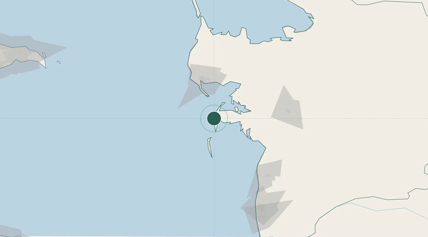
Location
Nearby Logistics Neighbours
Cities
- 1Turkmenbashi68 km
- 2Krasnovodsk70 km
- 3Balkanabat105 km
- 4Bandar Neka284 km
- 5Neka286 km
Ports
- 1Bandar-E Mahshahr1056 km
- 2Bandar Khomeyni1063 km
- 3Khorramshahr1094 km
- 4Al Basrah1099 km
- 5Abadan1101 km
Airports
Trade Zones
- 1Pirallahi Industrial Park263 km
- 2Amirabad Port285 km
- 3ANAS High Technologies Park294 km
- 4Alat Free Economic Zone298 km
- 5Balakhani Industrial Park300 km
DatabookThe Record of Consolidated Knowledge
Turkmenistan beyond logistics?