UN/LOCODE hub · Turkmenistan
TMKRW

Turkmenbashi

40.0039°, 52.9947°
4
Transport functions

Transport Functions

Port
Rail
Road
Airport
UN/LOCODE

Hub Profile

Region
B
GeoNames
Logistics facilities
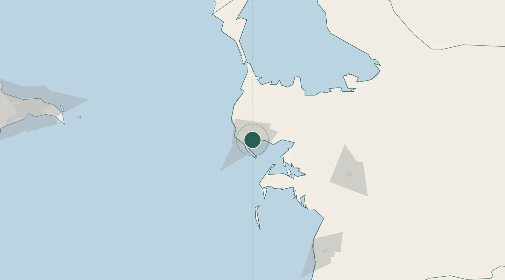
1
UN/LOCODE

Location

Location of TMKRW
Natural Earth 10m (public domain) · B · TMKRW · 40.00, 52.99GoogleOSMYandex

Nearby Logistics Neighbours

Cities
  1. 1Krasnovodsk3 km
  2. 2Cheleken68 km
  3. 3Balkanabat128 km
  4. 4Sumqayit290 km
  5. 5Qaradag290 km
Nearest neighbours — logibook spatial index (haversine) over the source coordinates
Ports
  1. 1Batumi971 km
  2. 2Supsa Marine Terminal973 km
  3. 3Hopa989 km
  4. 4Sokhumi1053 km
  5. 5Rize1060 km
Nearest neighbours — logibook spatial index (haversine) over the source coordinates
Airports
  1. 1Turkmenbaşy International Airport7 km
  2. 2Balkanabat International Airport110 km
  3. 3Balkanabat Airport131 km
  4. 4Baku Kala Air Base242 km
  5. 5Heydar Aliyev International Airport255 km
Nearest neighbours — logibook spatial index (haversine) over the source coordinates
Trade Zones
  1. 1Pirallahi Industrial Park229 km
  2. 2ANAS High Technologies Park264 km
  3. 3Alat Free Economic Zone267 km
  4. 4Balakhani Industrial Park268 km
  5. 5Garadagh Industrial Park284 km
Nearest neighbours — logibook spatial index (haversine) over the source coordinates
DatabookThe Record of Consolidated Knowledge
Turkmenistan beyond logistics?
Browse databook

All Sources

LocationsUN/LOCODE
UN/LOCODE — free
Portsthe NGA World Port Index
Public domain (US gov)
AirportsOurAirports
Public domain
Trade Zonesthe World Bank SEZ database
CC BY 4.0
Trade ZonesOpen Zone Map
CC BY
← Turkmenistan locations