Export Processing Zone · Azerbaijan

Alat Free Economic Zone Under Development
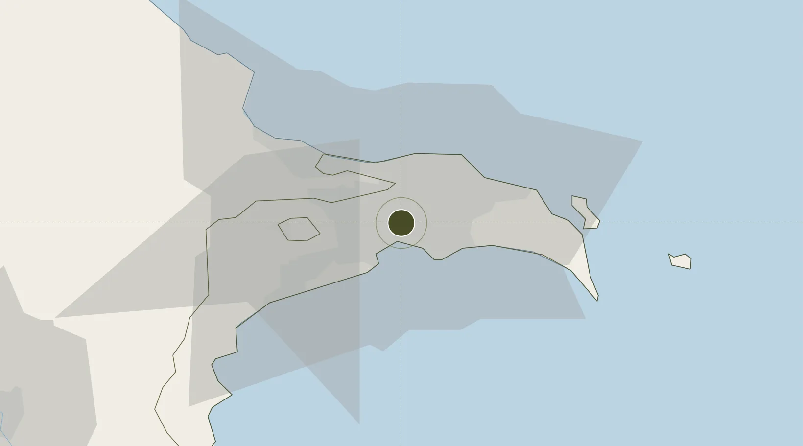
40.4146°, 49.9031°
850 ha
Zone area
705.5 km
Nearest port
10.9 km
Nearest airport

Gateway access

Nearest neighbours — logibook spatial index (haversine) over the source coordinates

Zone profile

Zone type
Export Processing Zone
Open Zone Map
Region
Bakı
Open Zone Map
Status
Under Development
Open Zone Map
Management
Public-Private Partnership
Open Zone Map
Operator
Alat Free Economic Zone Authority
Open Zone Map
Legal framework
Law of the Republic of Azerbaijan "On Special Economic Zones" April, 14th 2009
Open Zone Map

Location

Location of ozm-63
Natural Earth 10m (public domain) · Bakı · ozm-63 · 40.41, 49.90GoogleOSMYandex

Nearby Logistics Neighbours

Ports
  1. 1Batumi706 km
  2. 2Supsa Marine Terminal709 km
  3. 3Hopa723 km
  4. 4Sokhumi793 km
  5. 5Rize794 km
Nearest neighbours — logibook spatial index (haversine) over the source coordinates
Airports
  1. 1Zabrat Airport11 km
  2. 2Heydar Aliyev International Airport14 km
  3. 3Baku Kala Air Base25 km
  4. 4Nasosnaya Air Base35 km
  5. 5Sitalchay Airbase59 km
Nearest neighbours — logibook spatial index (haversine) over the source coordinates
Cities
  1. 1Sumqayit27 km
  2. 2Qaradag32 km
  3. 3Sangachal43 km
  4. 4Alat67 km
  5. 5Siyazan99 km
Nearest neighbours — logibook spatial index (haversine) over the source coordinates
Trade Zones
  1. 1ANAS High Technologies Park4 km
  2. 2Balakhani Industrial Park5 km
  3. 3Garadagh Industrial Park26 km
  4. 4Sumgayit Chemical Industrial Park31 km
  5. 5Pirallahi Industrial Park38 km
Nearest neighbours — logibook spatial index (haversine) over the source coordinates
DatabookThe Record of Consolidated Knowledge
Azerbaijan beyond logistics?
Browse databook

All Sources

Trade ZonesOpen Zone Map
CC BY
Portsthe NGA World Port Index
Public domain (US gov)
AirportsOurAirports
Public domain
LocationsUN/LOCODE
UN/LOCODE — free
← Azerbaijan trade zones