Medium airport · Turkmenistan
Turkmenbaşy International AirportUTAK
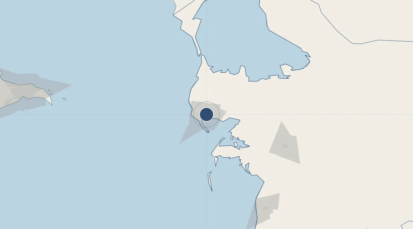
40.0628°, 53.0051°
11,483 ft
Longest runway
2
Runways
279 ft
Elevation
Runway & Layout

Radio Frequencies
TWR
124 MHz
GND
121.7 MHz
APP
120 MHz
MISC
131.9 MHz
TRANSIT
Navaids
CO NDB Turkmenbashi 350 kHz
KRS VOR-DME Turkmenbashi 112.30 MHz
WZ NDB Turkmenbashi 350 kHz
Runways · 2
| Runway | Dimensions | Surface | True heading | Lit |
|---|---|---|---|---|
| 16R/34L | 11,483 × 148ft | Concrete | — | ✓ |
| 16L/34R | 8,202 × 148ft | Concrete | 167° | ✓ |
Airport Specifications
IATA code
KRW
ICAO code
UTAK
Airport class
Medium airport
Scheduled service
Yes
Runway surface
Concrete
Served city
Turkmenbaşy
Location
Nearby Logistics Neighbours
Airports
- 1Balkanabat International Airport111 km
- 2Balkanabat Airport133 km
- 3Baku Kala Air Base241 km
- 4Heydar Aliyev International Airport255 km
- 5Zabrat Airport261 km
Cities
- 1Krasnovodsk6 km
- 2Turkmenbashi7 km
- 3Cheleken75 km
- 4Balkanabat131 km
- 5Sumqayit289 km
Ports
- 1Batumi970 km
- 2Supsa Marine Terminal972 km
- 3Hopa989 km
- 4Sokhumi1051 km
- 5Rize1060 km
Trade Zones
- 1Pirallahi Industrial Park229 km
- 2ANAS High Technologies Park263 km
- 3Alat Free Economic Zone266 km
- 4Balakhani Industrial Park267 km
- 5Garadagh Industrial Park285 km
DatabookThe Record of Consolidated Knowledge
Turkmenistan beyond logistics?