Transport Functions
Port
Road
Hub Profile
Region
B
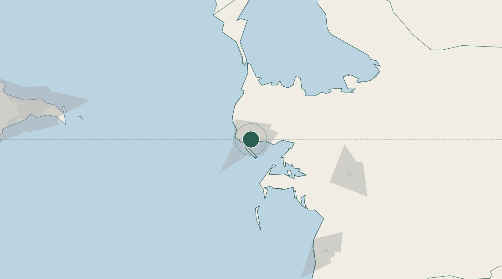
Location
Nearby Logistics Neighbours
Cities
- 1Turkmenbashi3 km
- 2Cheleken70 km
- 3Balkanabat131 km
- 4Sumqayit287 km
- 5Qaradag287 km
Ports
- 1Batumi969 km
- 2Supsa Marine Terminal971 km
- 3Hopa986 km
- 4Sokhumi1050 km
- 5Rize1058 km
Airports
Trade Zones
- 1Pirallahi Industrial Park226 km
- 2ANAS High Technologies Park261 km
- 3Alat Free Economic Zone264 km
- 4Balakhani Industrial Park265 km
- 5Garadagh Industrial Park282 km
DatabookThe Record of Consolidated Knowledge
Turkmenistan beyond logistics?