Specialized Zone · Azerbaijan

Balakhani Industrial Park Active
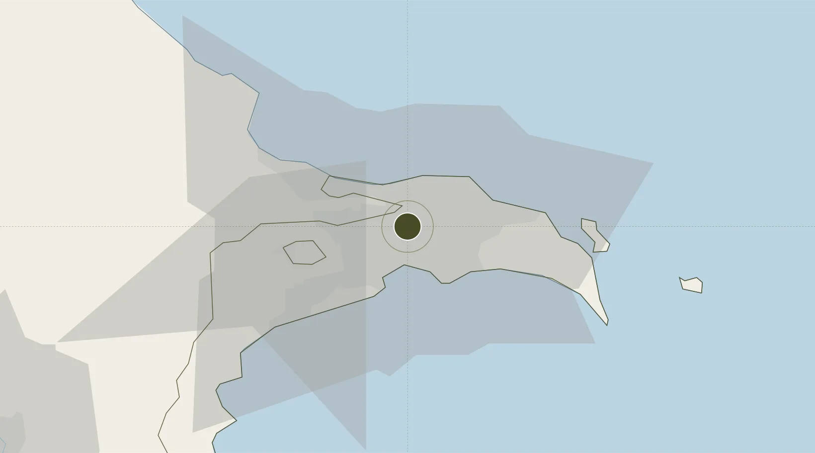
40.4624°, 49.9011°
7 ha
Zone area
704.0 km
Nearest port
7.4 km
Nearest airport

Gateway access

Nearest neighbours — logibook spatial index (haversine) over the source coordinates

Zone profile

Zone type
Specialized Zone
Open Zone Map
Specialization
Manufacturing
Open Zone Map
Region
Bakı
Open Zone Map
Status
Active
Open Zone Map
Management
Public-Private Partnership
Open Zone Map
Operator
Tamiz Shahar
Open Zone Map
Legal framework
Presidential Decree Decree No. 1947 dated December 28 2011: "On the Establishment of the Balakhani Industrial Park in Baku"
Open Zone Map

Location

Location of ozm-66
Natural Earth 10m (public domain) · Bakı · ozm-66 · 40.46, 49.90GoogleOSMYandex

Nearby Logistics Neighbours

Ports
  1. 1Batumi704 km
  2. 2Supsa Marine Terminal707 km
  3. 3Hopa722 km
  4. 4Sokhumi791 km
  5. 5Rize793 km
Nearest neighbours — logibook spatial index (haversine) over the source coordinates
Airports
  1. 1Zabrat Airport7 km
  2. 2Heydar Aliyev International Airport13 km
  3. 3Baku Kala Air Base26 km
  4. 4Nasosnaya Air Base32 km
  5. 5Sitalchay Airbase55 km
Nearest neighbours — logibook spatial index (haversine) over the source coordinates
Cities
  1. 1Sumqayit24 km
  2. 2Qaradag35 km
  3. 3Sangachal46 km
  4. 4Alat71 km
  5. 5Siyazan95 km
Nearest neighbours — logibook spatial index (haversine) over the source coordinates
Trade Zones
  1. 1Alat Free Economic Zone5 km
  2. 2ANAS High Technologies Park9 km
  3. 3Sumgayit Chemical Industrial Park28 km
  4. 4Garadagh Industrial Park30 km
  5. 5Pirallahi Industrial Park39 km
Nearest neighbours — logibook spatial index (haversine) over the source coordinates
DatabookThe Record of Consolidated Knowledge
Azerbaijan beyond logistics?
Browse databook

All Sources

Trade ZonesOpen Zone Map
CC BY
Portsthe NGA World Port Index
Public domain (US gov)
AirportsOurAirports
Public domain
LocationsUN/LOCODE
UN/LOCODE — free
← Azerbaijan trade zones