Closed · Turkmenistan
Balkanabat AirportUT1H
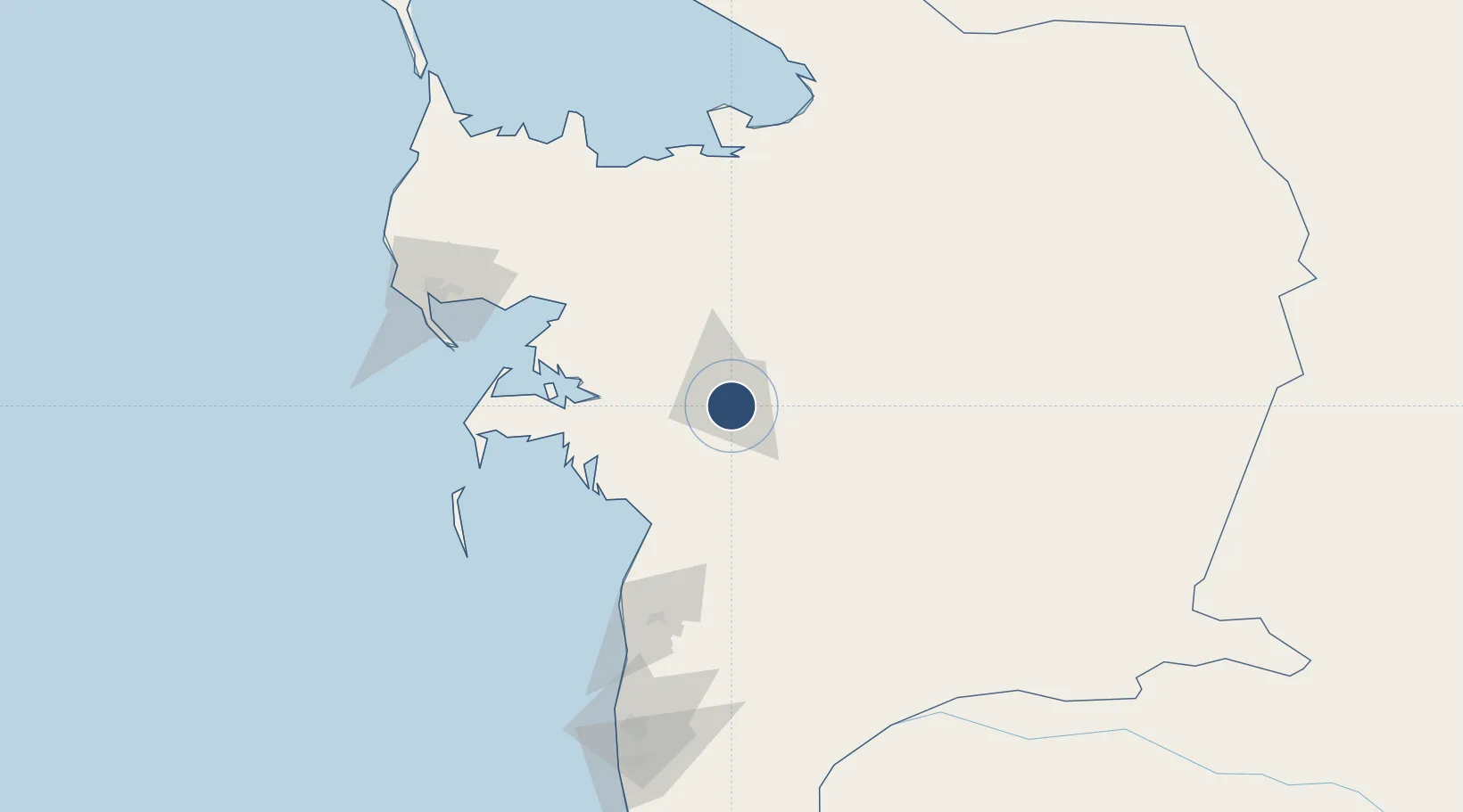
39.4806°, 54.3660°
8,202 ft
Longest runway
1
Runways
5 ft
Elevation
Runway & Layout

Runways · 1
| Runway | Dimensions | Surface | True heading | Lit |
|---|---|---|---|---|
| 11/29 | 8,202 × 135ft | Concrete | 109° | — |
Airport Specifications
Airport class
Closed
Scheduled service
Yes
Runway surface
Concrete
Served city
Balkanabat
Location
Nearby Logistics Neighbours
Airports
- 1Balkanabat International Airport26 km
- 2Turkmenbaşy International Airport133 km
- 3Gorgan Airport286 km
- 4Sari Dasht-e Naz International Airport332 km
- 5Bojnord Airport338 km
Cities
- 1Balkanabat3 km
- 2Cheleken106 km
- 3Turkmenbashi131 km
- 4Krasnovodsk134 km
- 5Bäherden288 km
Ports
- 1Bandar-E Mahshahr1107 km
- 2Bandar Khomeyni1115 km
- 3Khorramshahr1152 km
- 4Abadan1158 km
- 5Al Basrah1160 km
Trade Zones
- 1Amirabad Port305 km
- 2Bojnord Special Economic Zone338 km
- 3Pirallahi Industrial Park358 km
- 4Damghan Special Economic Zone369 km
- 5Bandar Nowshahr Special Economic Zone401 km
DatabookThe Record of Consolidated Knowledge
Turkmenistan beyond logistics?