Specialized Zone · Azerbaijan

ANAS High Technologies Park Active
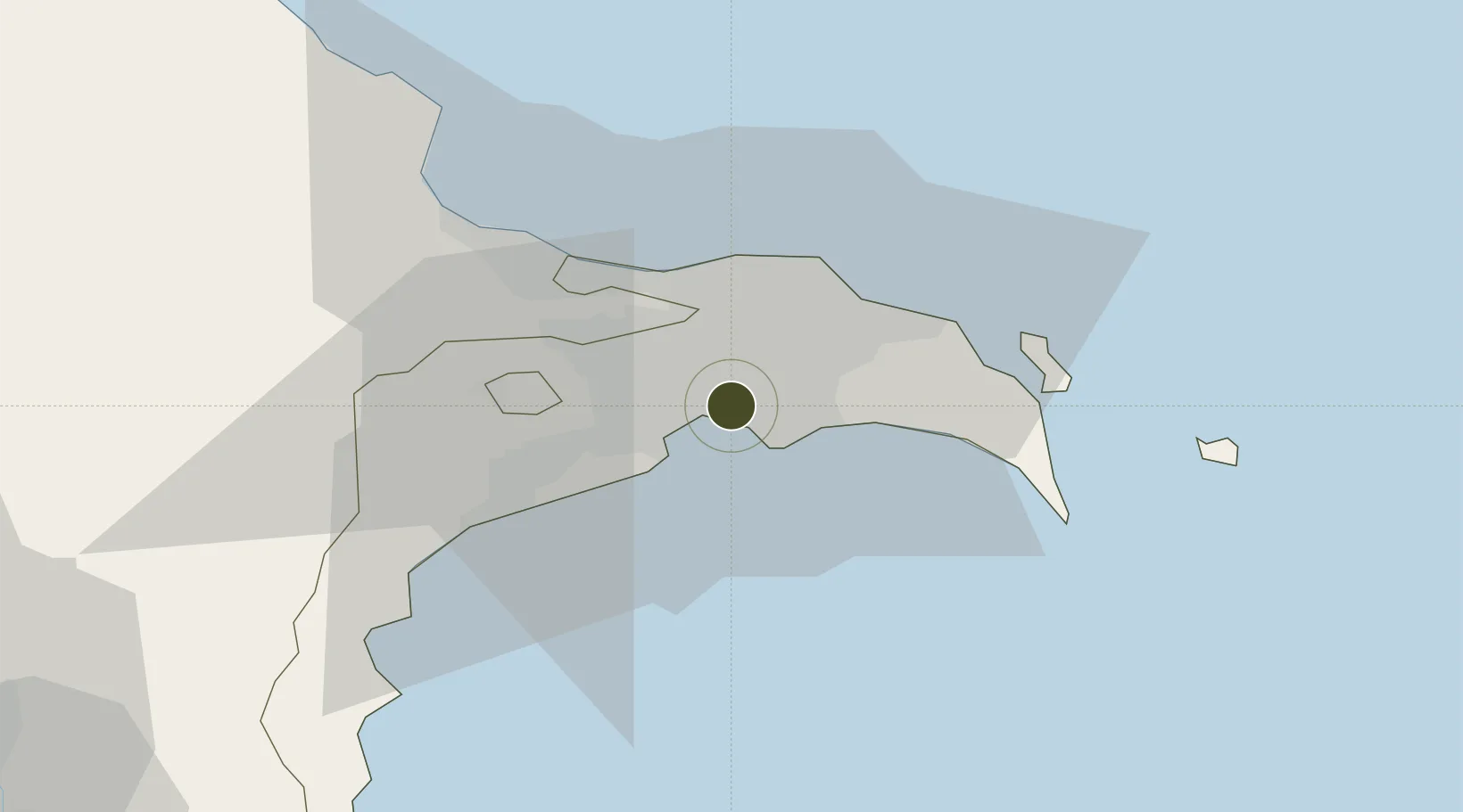
40.3817°, 49.9323°
22 ha
Zone area
708.7 km
Nearest port
13.1 km
Nearest airport

Gateway access

Nearest neighbours — logibook spatial index (haversine) over the source coordinates

Zone profile

Zone type
Specialized Zone
Open Zone Map
Specialization
Tech
Open Zone Map
Region
Bakı
Open Zone Map
Status
Active
Open Zone Map
Management
Public-Private Partnership
Open Zone Map
Operator
ANAS High Technologies Park, LLC. / Azerbaijan National Academy of Sciences
Open Zone Map
Legal framework
Presidential Decree dated November 8, 2016
Open Zone Map

Location

Location of ozm-71
Natural Earth 10m (public domain) · Bakı · ozm-71 · 40.38, 49.93GoogleOSMYandex

Nearby Logistics Neighbours

Ports
  1. 1Batumi709 km
  2. 2Supsa Marine Terminal713 km
  3. 3Hopa726 km
  4. 4Rize797 km
  5. 5Sokhumi797 km
Nearest neighbours — logibook spatial index (haversine) over the source coordinates
Airports
  1. 1Zabrat Airport13 km
  2. 2Heydar Aliyev International Airport14 km
  3. 3Baku Kala Air Base23 km
  4. 4Nasosnaya Air Base39 km
  5. 5Sitalchay Airbase64 km
Nearest neighbours — logibook spatial index (haversine) over the source coordinates
Cities
  1. 1Sumqayit32 km
  2. 2Qaradag32 km
  3. 3Sangachal43 km
  4. 4Alat66 km
  5. 5Shirvan101 km
Nearest neighbours — logibook spatial index (haversine) over the source coordinates
Trade Zones
  1. 1Alat Free Economic Zone4 km
  2. 2Balakhani Industrial Park9 km
  3. 3Garadagh Industrial Park26 km
  4. 4Sumgayit Chemical Industrial Park35 km
  5. 5Pirallahi Industrial Park36 km
Nearest neighbours — logibook spatial index (haversine) over the source coordinates
DatabookThe Record of Consolidated Knowledge
Azerbaijan beyond logistics?
Browse databook

All Sources

Trade ZonesOpen Zone Map
CC BY
Portsthe NGA World Port Index
Public domain (US gov)
AirportsOurAirports
Public domain
LocationsUN/LOCODE
UN/LOCODE — free
← Azerbaijan trade zones