Transport Functions
Port
Road
Multimodal
Postal
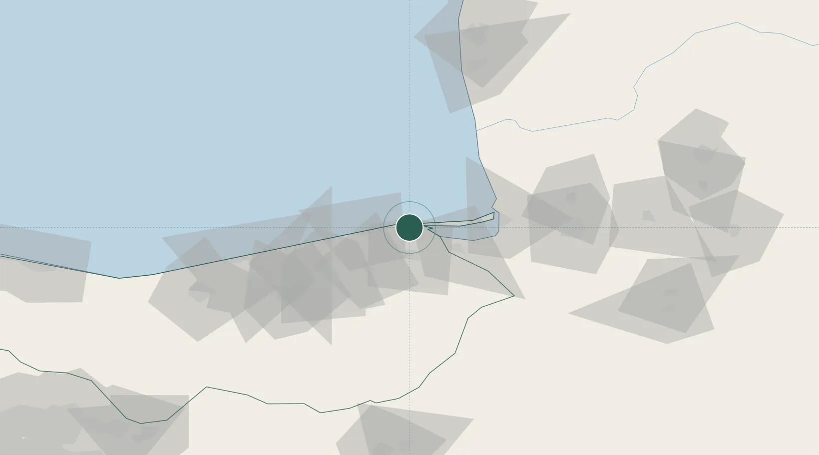
Location
Nearby Logistics Neighbours
Cities
- 1Bandar Amirabad19 km
- 2Neka24 km
- 3Bandar-e Gaz38 km
- 4Freidoon Kenar90 km
- 5Amir Abad Pt136 km
Ports
- 1Bandar-E Mahshahr817 km
- 2Bandar Khomeyni825 km
- 3Khorramshahr870 km
- 4Abadan874 km
- 5Al Basrah881 km
Airports
- 1Sari Dasht-e Naz International Airport39 km
- 2Gorgan Airport77 km
- 3Semnan Municipal Airport142 km
- 4Nowshahr Airport186 km
- 5Mehrabad International Airport238 km
Trade Zones
- 1Amirabad Port15 km
- 2Damghan Special Economic Zone105 km
- 3Semnan Special Economic Zone144 km
- 4Bandar Nowshahr Special Economic Zone182 km
- 5Noshahr Special Economic Zone182 km
DatabookThe Record of Consolidated Knowledge
Iran beyond logistics?