Specialized Zone · Azerbaijan

Pirallahi Industrial Park Active
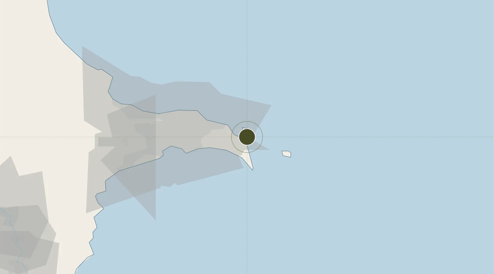
40.4238°, 50.3542°
30 ha
Zone area
742.3 km
Nearest port
13.1 km
Nearest airport

Gateway access

Nearest neighbours — logibook spatial index (haversine) over the source coordinates

Zone profile

Zone type
Specialized Zone
Open Zone Map
Specialization
Biotech
Open Zone Map
Region
Bakı
Open Zone Map
Status
Active
Open Zone Map
Management
Public-Private Partnership
Open Zone Map
Operator
Sumgait Chemical Industrial Park, LLC.
Open Zone Map
Legal framework
Presidential Decree No. 2336 dated September 14, 2016
Open Zone Map

Location

Location of ozm-64
Natural Earth 10m (public domain) · Bakı · ozm-64 · 40.42, 50.35GoogleOSMYandex

Nearby Logistics Neighbours

Ports
  1. 1Batumi742 km
  2. 2Supsa Marine Terminal745 km
  3. 3Hopa760 km
  4. 4Sokhumi828 km
  5. 5Rize831 km
Nearest neighbours — logibook spatial index (haversine) over the source coordinates
Airports
  1. 1Baku Kala Air Base13 km
  2. 2Heydar Aliyev International Airport26 km
  3. 3Zabrat Airport33 km
  4. 4Nasosnaya Air Base70 km
  5. 5Sitalchay Airbase89 km
Nearest neighbours — logibook spatial index (haversine) over the source coordinates
Cities
  1. 1Sumqayit61 km
  2. 2Qaradag67 km
  3. 3Sangachal78 km
  4. 4Alat97 km
  5. 5Siyazan128 km
Nearest neighbours — logibook spatial index (haversine) over the source coordinates
Trade Zones
  1. 1ANAS High Technologies Park36 km
  2. 2Alat Free Economic Zone38 km
  3. 3Balakhani Industrial Park39 km
  4. 4Garadagh Industrial Park61 km
  5. 5Sumgayit Chemical Industrial Park65 km
Nearest neighbours — logibook spatial index (haversine) over the source coordinates
DatabookThe Record of Consolidated Knowledge
Azerbaijan beyond logistics?
Browse databook

All Sources

Trade ZonesOpen Zone Map
CC BY
Portsthe NGA World Port Index
Public domain (US gov)
AirportsOurAirports
Public domain
LocationsUN/LOCODE
UN/LOCODE — free
← Azerbaijan trade zones