UN/LOCODE hub · Turkmenistan
TMBAL
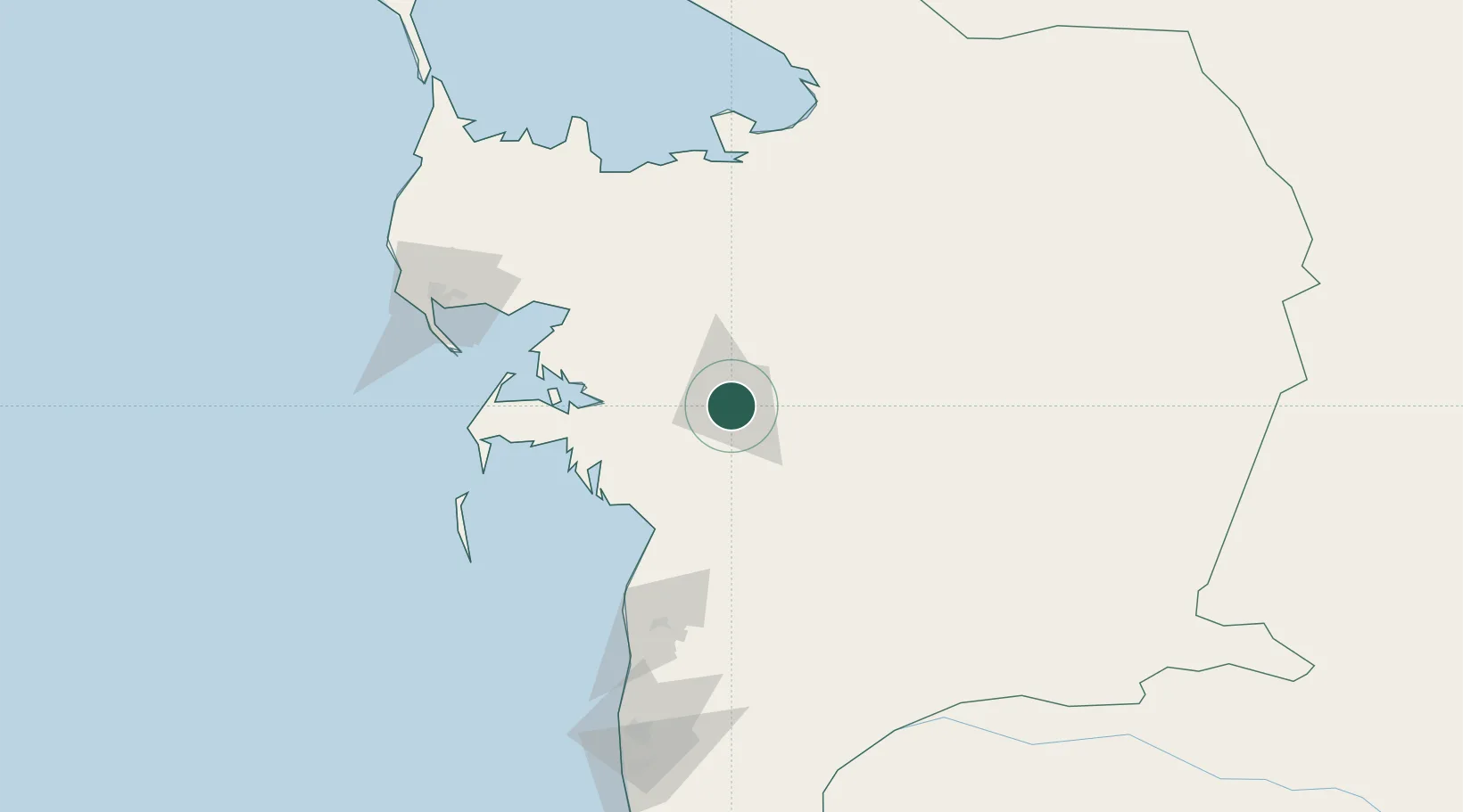
Balkanabat
39.5054°, 54.3490°
87,822
Population
2
Transport functions
Transport Functions
Rail
Road
Hub Profile
Place type
Regional capital
Region
Balkan
Population
87,822
Time zone
Asia/Ashgabat
Elevation
11 m
Logistics facilities
1
Location
Nearby Logistics Neighbours
Cities
- 1Cheleken105 km
- 2Turkmenbashi128 km
- 3Krasnovodsk131 km
- 4Bäherden291 km
- 5Bandar Neka302 km
Ports
- 1Bandar-E Mahshahr1109 km
- 2Bandar Khomeyni1117 km
- 3Khorramshahr1154 km
- 4Abadan1159 km
- 5Al Basrah1162 km
Airports
Trade Zones
- 1Amirabad Port308 km
- 2Bojnord Special Economic Zone341 km
- 3Pirallahi Industrial Park355 km
- 4Damghan Special Economic Zone372 km
- 5Bandar Nowshahr Special Economic Zone402 km
DatabookThe Record of Consolidated Knowledge
Turkmenistan beyond logistics?